W River Rd.
Inglis, FL


Marshall & Liza Hash
(360)798-2861
email
wcz6767@sailmail.com
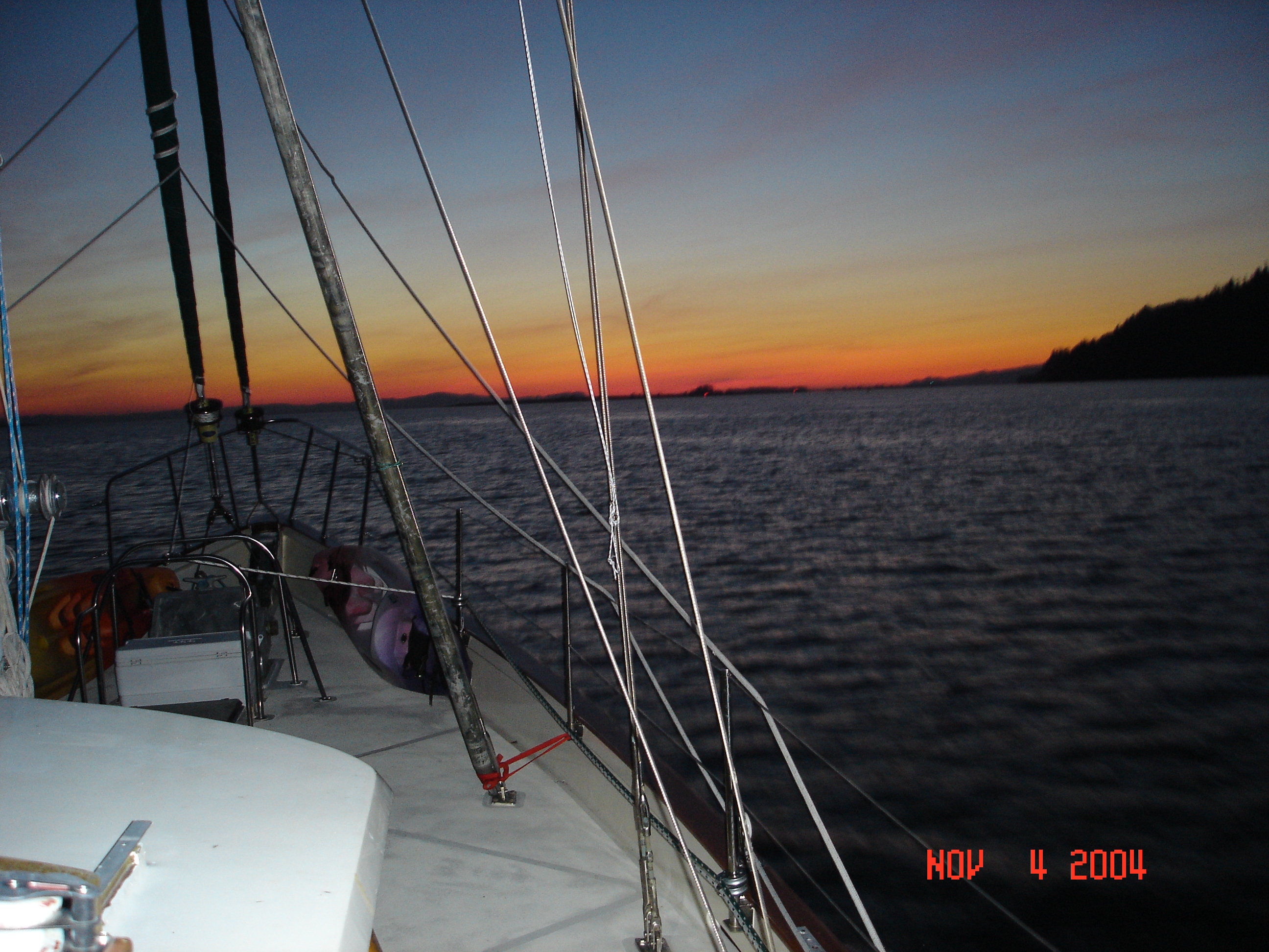
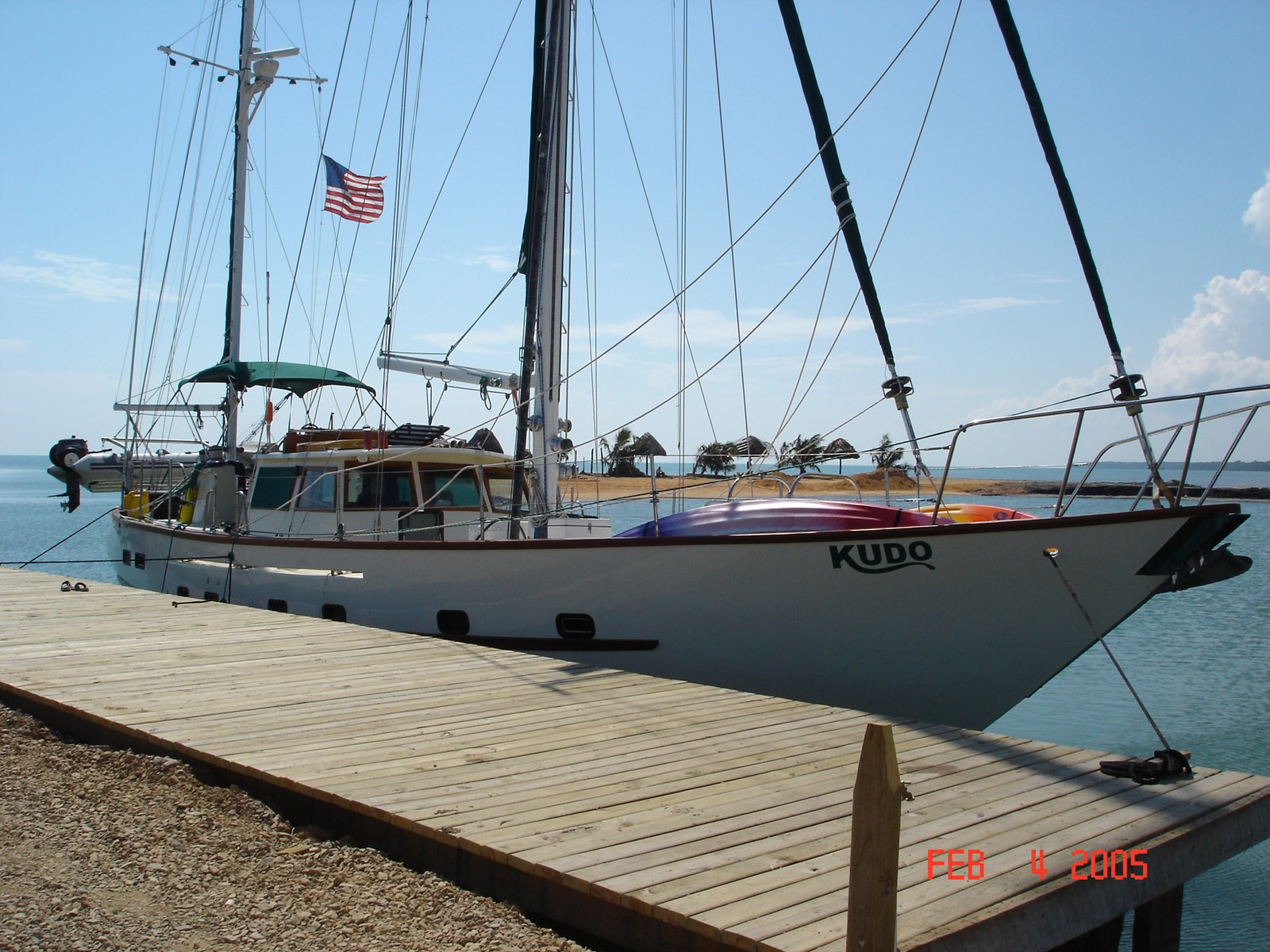
The trip from Portland, OR to Inglis, FL
Started on November 3rd 2004 aboard S/V KUDO
Crew Marshall, Liza, & Chyna
Click on the image to see a larger view

We departed Portland at 3pm on the 3rd headed for the fuel dock in St Hellens OR. 10 miles down river, we will get fuel in the morning.
After fueling we headed down the river. We arrived at the mouth of the Columbia at 9 pm. It was a large ebe tide, dark and the wind was blowing so we decided to anchor off the bar and wait for the slack tide at 7 am.

It was a good choice as the bar was prety nasty even durring the slack.

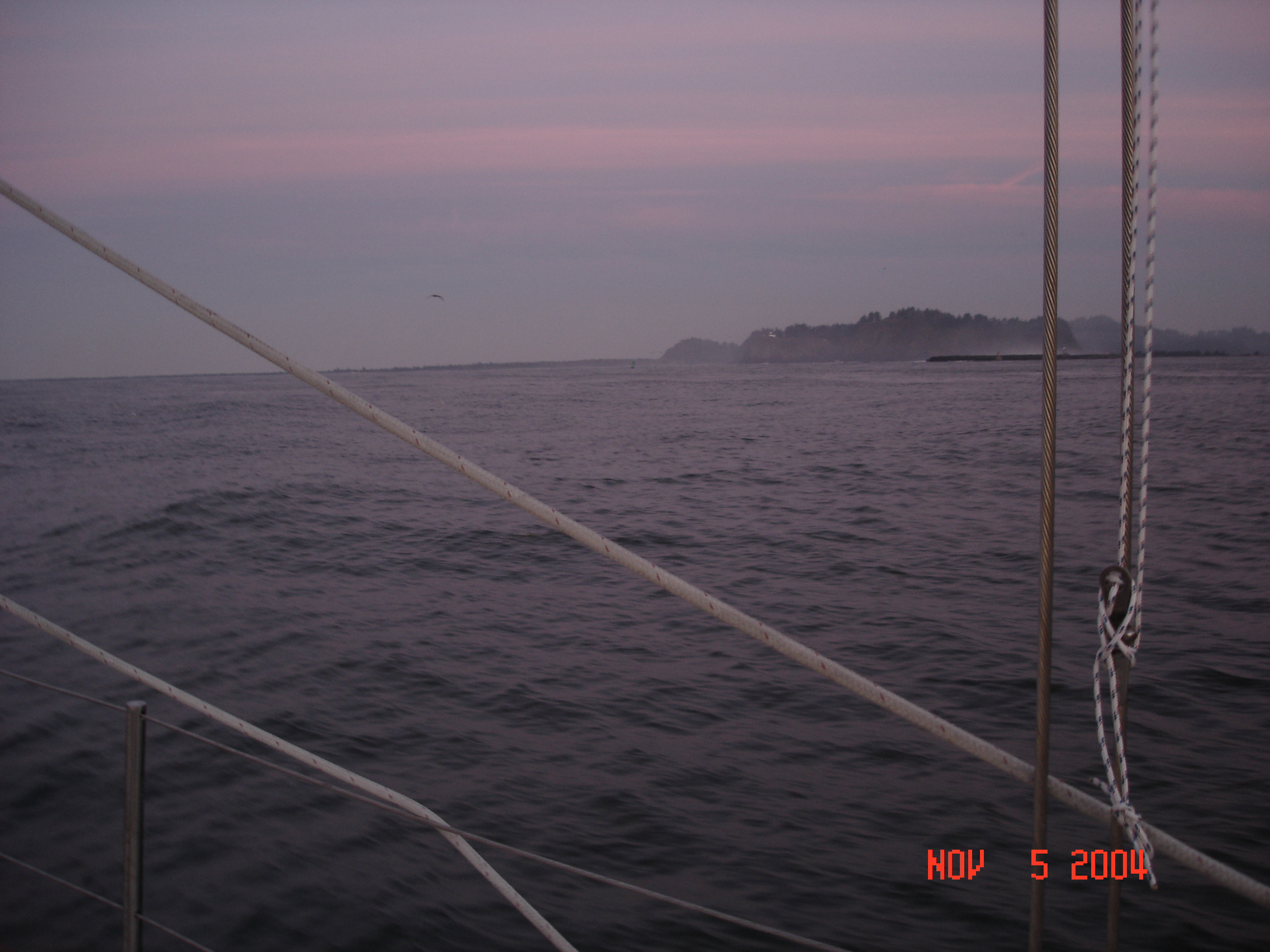
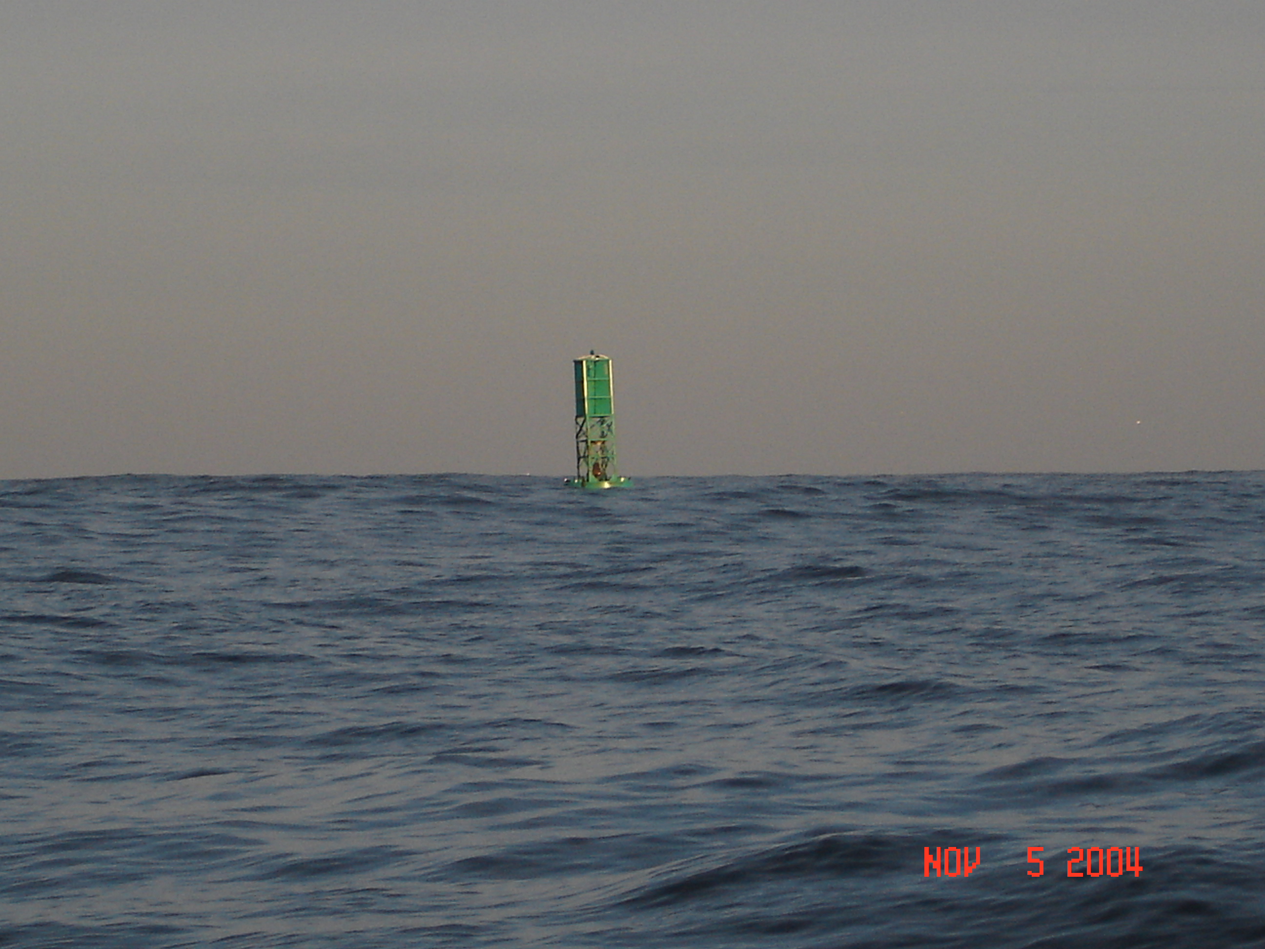
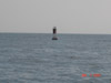
We are out past the bar at the sea bouy and preparing to head south.
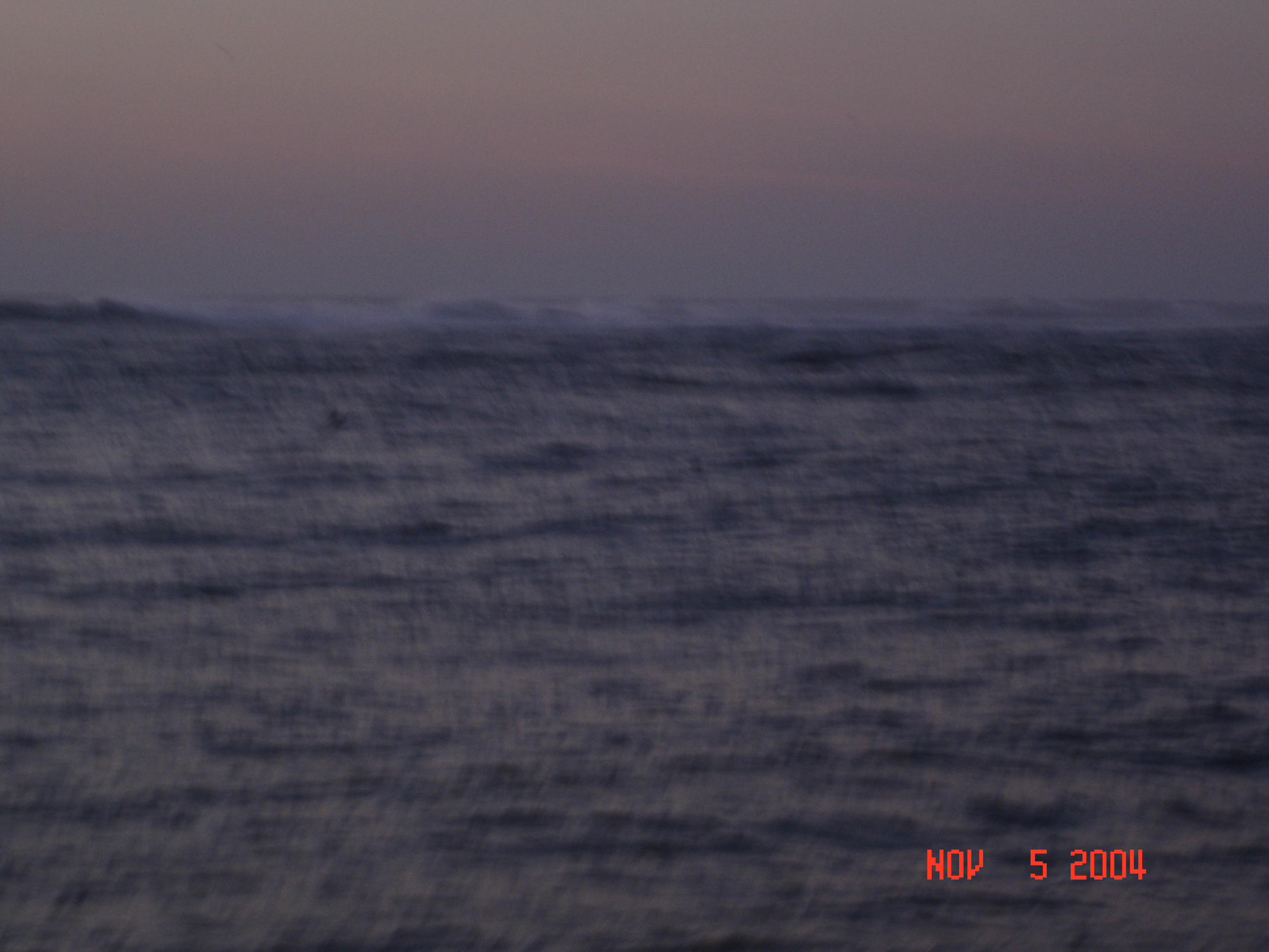
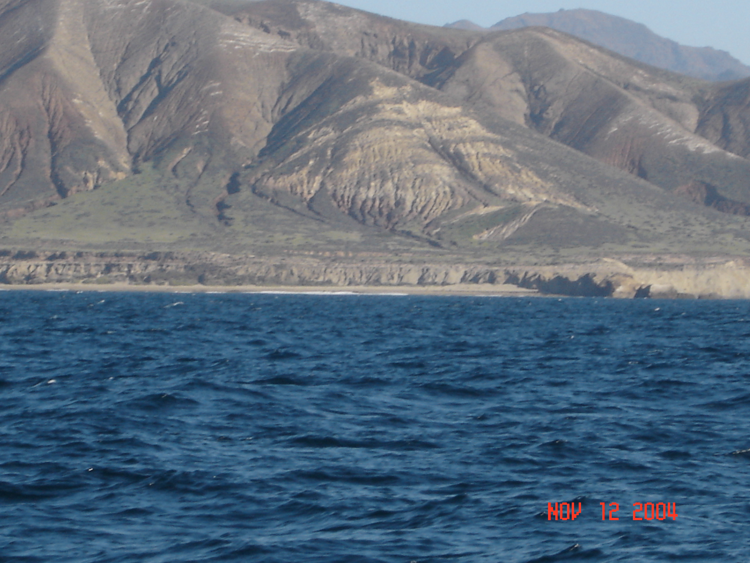
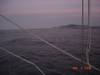
Wind was blowing 10-15 kts and the seas were 10-15 ft from the north east. We motored south for 3 days in flowing seas to get to Point Arena in Northern Cailf. where the seas finialy calmed to 6-8 ft and wind shifted to the east.
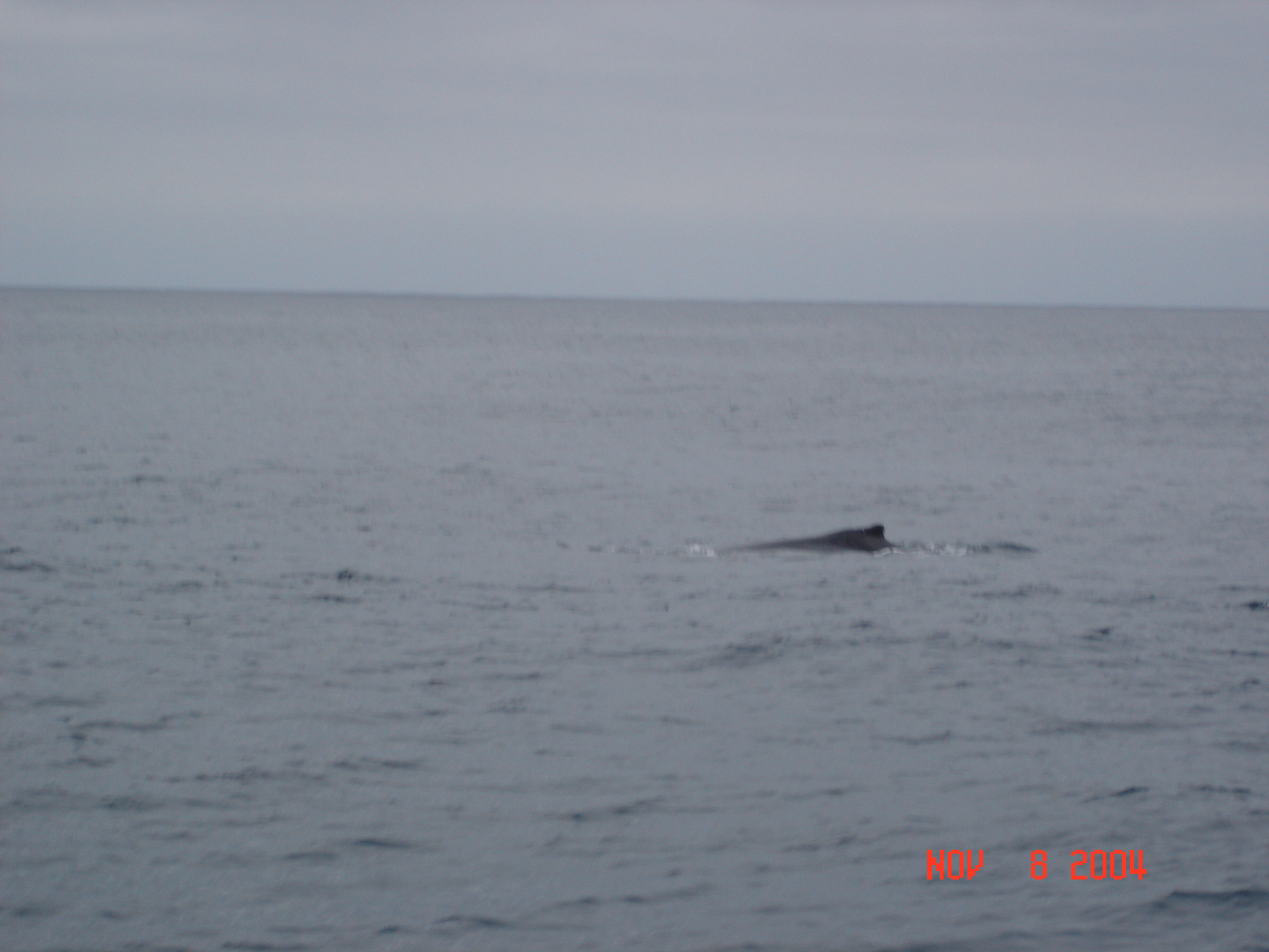
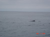 watching whales, dophins and birds is how we spend our days
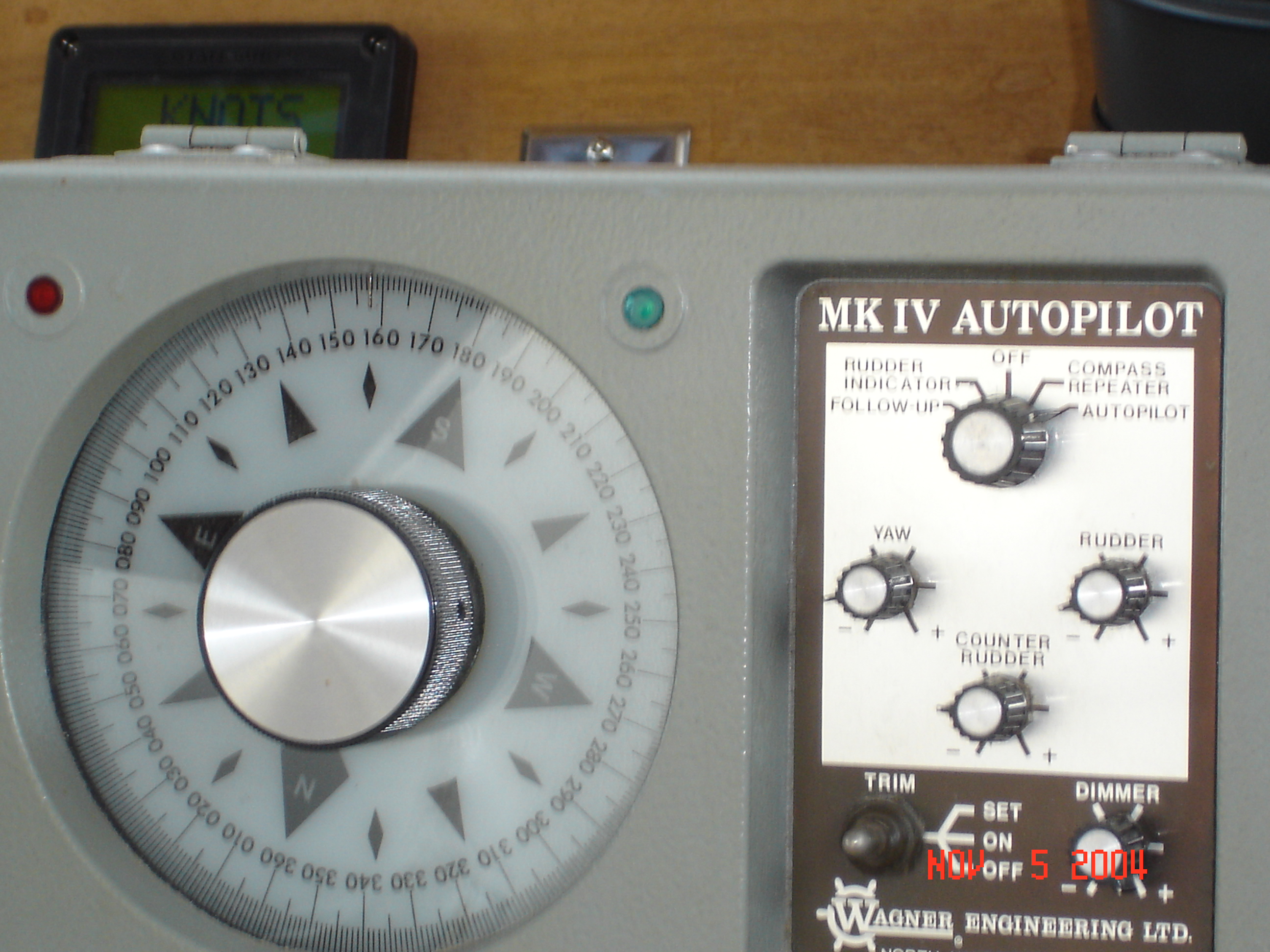
 our autopilot did all the real work. We lounged around and watched it work.
 We arrived in the Santa Cruz bay at 4 am and droped the anchor in 20 ft water and slept until morning. We cleaned up around the boat and went in to the harbor around 10 am to get fuel and a burrito. We used 180 gals fuel in 4 days and 720 miles. And the burrito place was closed...
 We anchored in a small inlet off Sanat Rosa Island for the night and to run the watermaker for a few hours.
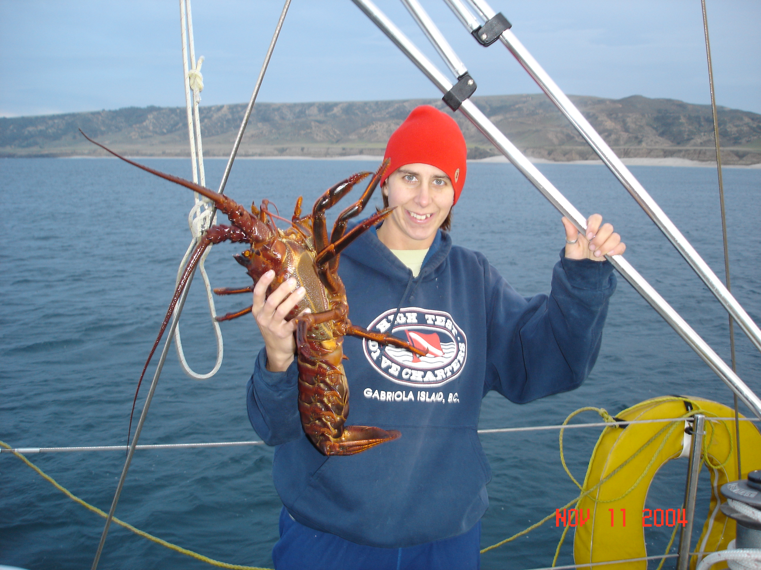
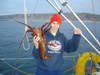 Liza went for a dive and caught this baby at Santa Rosa and we had dinner.
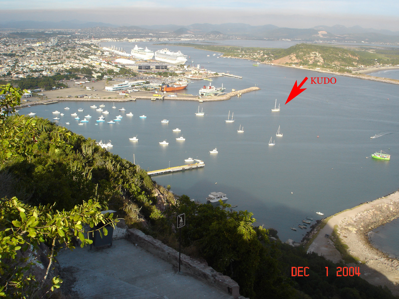
 We pulled in to San Digeo Harbor at 1 pm on Saturday after 8 days and 1134 miles. We achored behind Shelter Island and had a professional come by and he fixed the frezer... We did some boat projects and spent a lot of time tuning things to work better. We meet a bunch of others making thier way south but it was time to move on so Friday morning we fueled up and headed south.
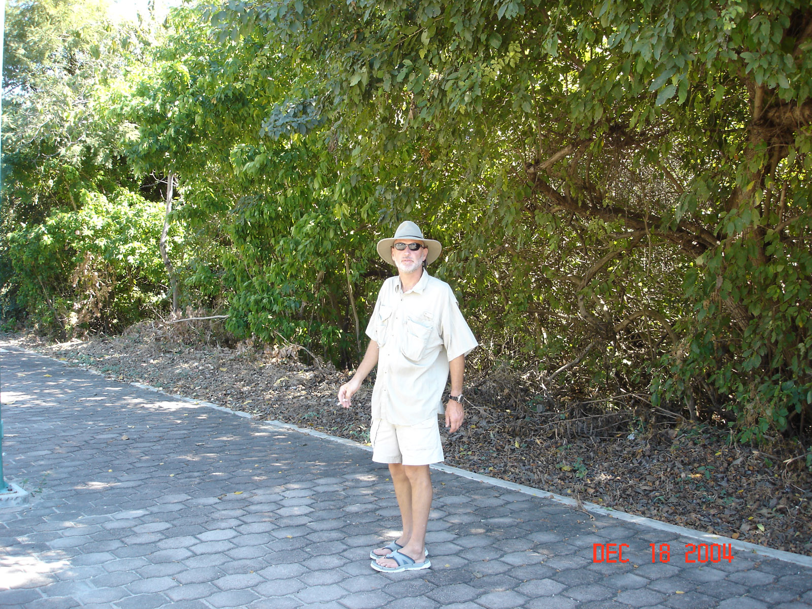
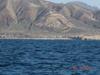
 350 miles and 2 1/2 days we made our first stop in Turtle Bay, Mexico. We sailed the last 50 miles on this leg but the wind didn't blow very much. We had 4-6 ft seas with almost no wind waves. Turtle Bay ia a small bay with a fishing village where most crusiers stop on the trip south. Gravel streets tin shacks, dogs everywhere and nice people. Just what you would expect of a Mexican fishing village 300 miles from anywhere.
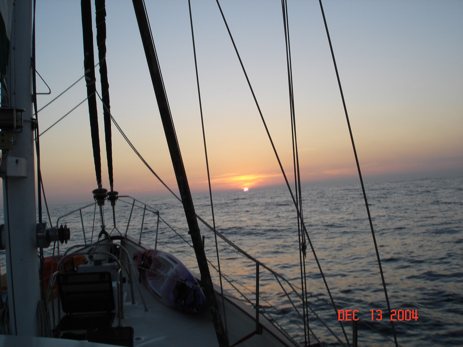
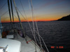
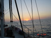
 We watch the moon come up just before the sun sets.

 So we have an interesting day. We pass by Cabo San Lucas, the southern most point on the Baja at 4am on Sunday. The winds are good and we would have to wait until Monday to check in with the port captain. A guy in Ventura CA does a weather for cruisers in Mexico and CA on the ham radio, yesterday he says no real weather for the 240 mile trip across the Sea of Cortez(Bay of California) for a week. Now we listen at 8:15 am today and he says tomorrow 25-30 knot winds with 8-10' seas, big High in Salt Lake City that is pushing the winds south. Did I mention its dead calm and we are motoring. We can make it to the island by night tomorrow but we don't want to arrive at an unmarked island in the dark so we don't really want to hurry. We have about 100 gals fuel left and 250 miles to go, okay especially if we sail, but no wind. Now I do some chores, wash all the windows in the pilot house, in and out. Then the bird appears just before sunset, a little bigger that a sea gull and no fear and we have fun as it moves around the boat. Then his friends arrive, now they are on the spreaders, rails and on the pilot house. You can walk up and pet these things, kind of cool until the deck is covered with shit.... we have to shut the hatches, its everywhere. Now the wind comes up a little just after dark and so we start to sail. Now we have to walk in all this shit and they are still at it so the ones in the spreaders are aiming at us and now its in my hair and between my toes. I fire up the wash down and as I finish I notice a flashing white light off to the starboard so we give it a wide berth, we are in 1500 fathoms and 50 mile from shore so I assume its no channel marker. Then we notice something white in the water and I see several something in a row, plastic barrels in a perfect row... what a fish net with these as markers 20 feet ahead of us so I give the wheel a big turn and we head out I see a target on the radar about 4 mile ahead so I head N to give it a mile or two, some space, As we pass the target I see nothing out in the ocean but the radar sees it, I have no idea if it was the end or the middle so we are still off course, I figure 10 miles can't be bad. I go up and tell the birds all is okay and they can go back to sleep, all the excitement has them swalking. and its only 8 pm. At midnight the winds have kicked up and we decide a port is better than a small Island so we head to Mazatlan, about 100 miles away. We have been at sea for 6 days and a little fuel and supplies can't be that bad.
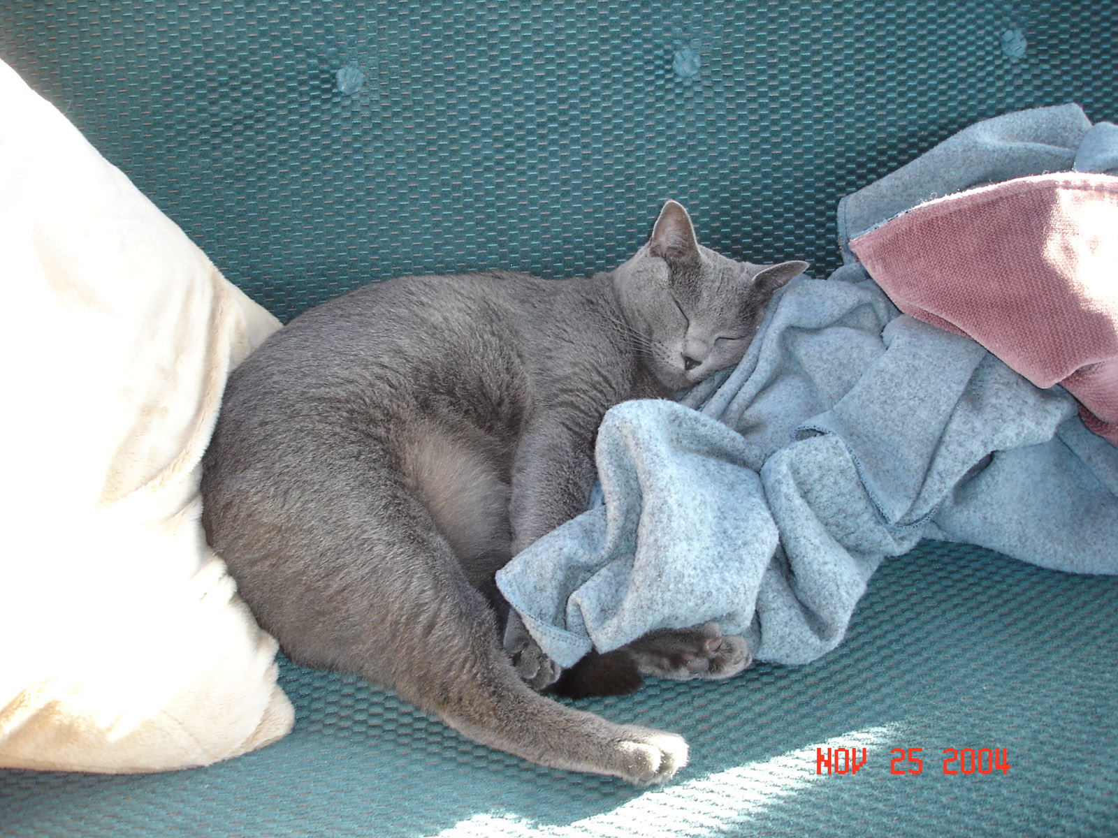
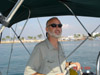
 El Capitan Gatto sleeping on her watch
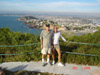
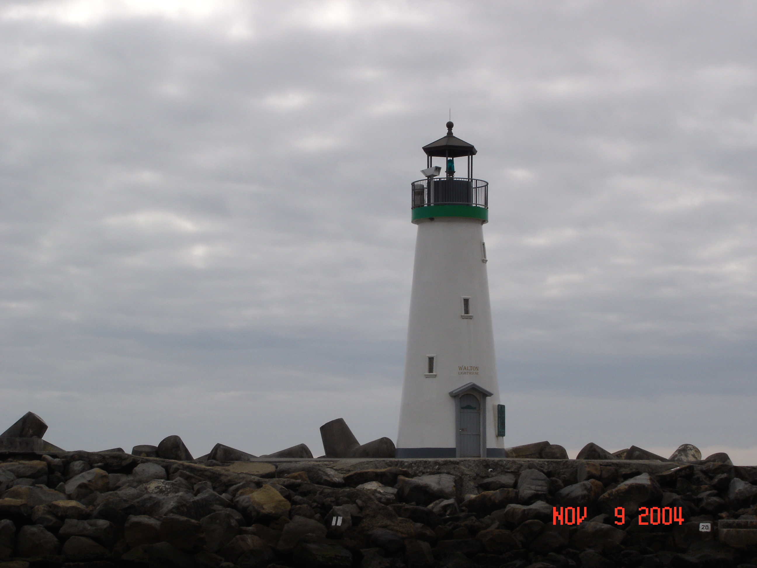
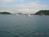
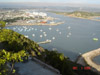 We sail all day Monday but by noon we have shortened the sails and are moving along nicely at 7 kts. By 2 pm we have 1/3 of the jib left out 1/4 of the main and the staysail and mizzen are put away, we are still doing seven kts... the waves are now at 8-10 ft and we are on a direct course of Mazatlan, but we won't arrive until after dark, 7pm or so. We are riding over the waves pretty good a little crashing and banging when they catch us broad side, Chyna isn't too happy... We always seem to arrive at in the dark, so we get in the harbor where the winds and waves are gone and we find a spot to drop anchor. It feels good, and Chyna is happy. 2151 miles in 18 days of travel. We hike up to the lighthouse, highest working lighthouse in the world, 500 + ft up on a rock. First image is view towards Mazatlan. The second is the view of the harbor with Kudo in it.
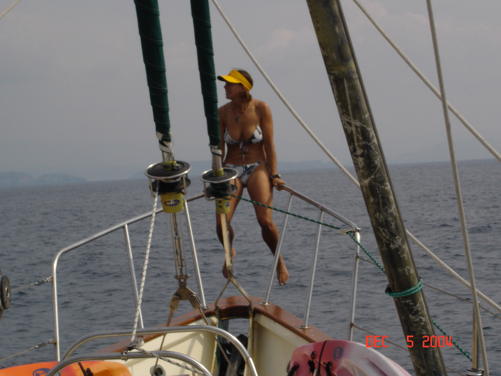
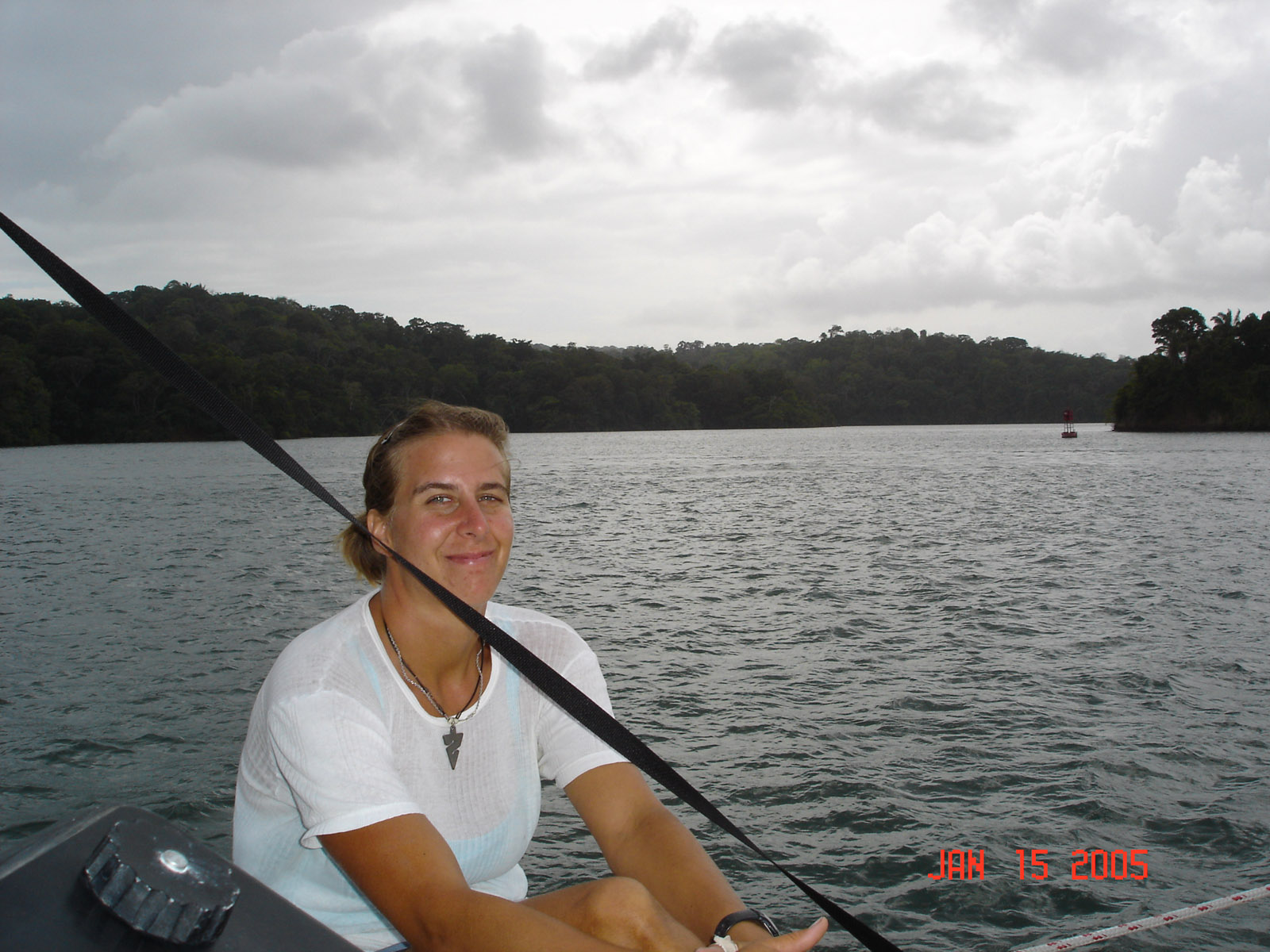
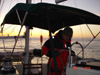
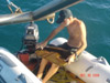
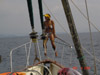 How Liza spends her days out at sea.
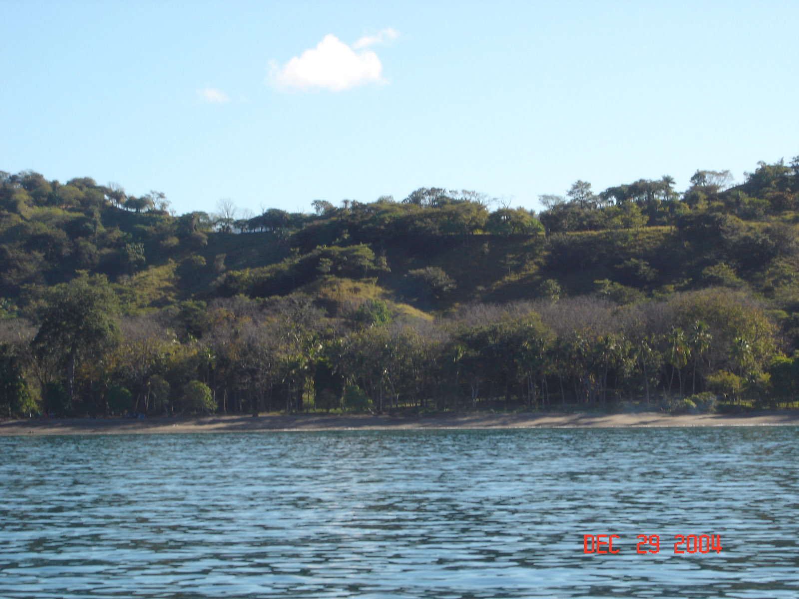
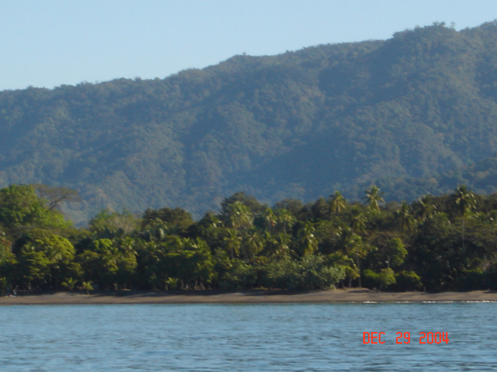
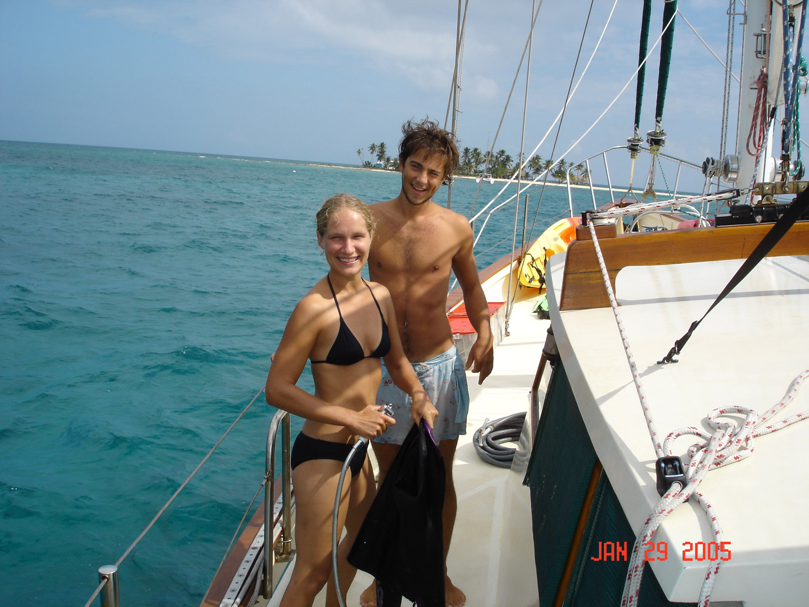
 Our favorite place so far. Great snorkeling in warm clear water. 15 other crusiers anchored in the bay. We went to the beach at night for a bonfire.
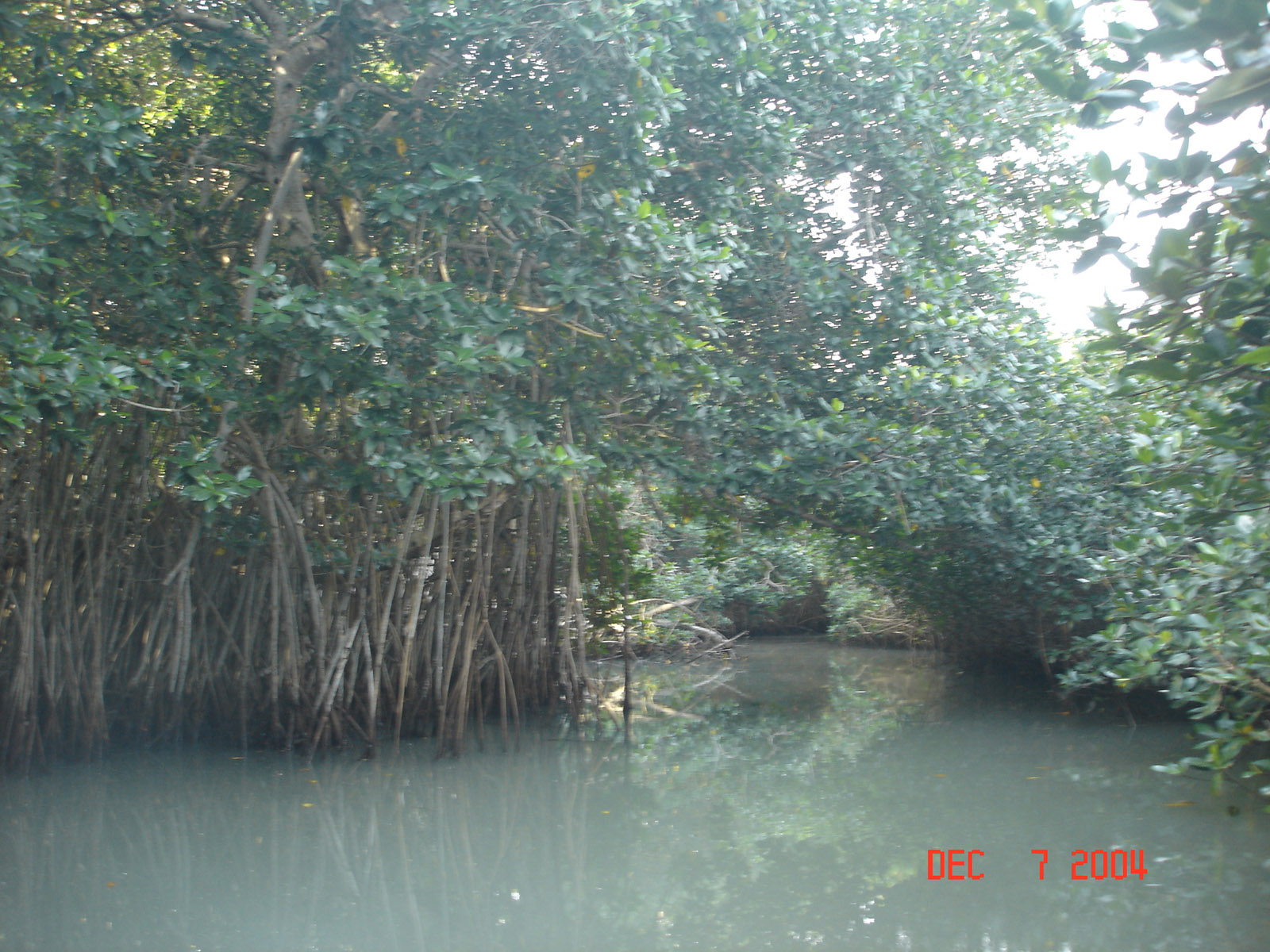
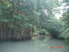 A small stream that runs through the mangroves at Tenatatita bay. A 3 hour cruise in the inflateable.
 Arriving in Bara's interharbor for fuel and food. Small village with lots of character. We will only spend a couple hours before heading south to Puerto Madero, 800 miles away.
 We did a little diving but the waters a chilly 84 deg. Mostly we snorkle.
 By the time we fueled up and went to town it was afternoon so we decided to spend the night anchored in the bay "Bahia Navidad" with 1 other boat. About 8pm a a guy named Weston rowed up to the boat and he was the owner of the sailboat anchored next to us. He came aboard and we talked about the trip south. He told us of a marina in Huatulco, a small bay near the dreaded Gulf of Tehuantepec, which was fantastic. And he talked about his adventures up and down this part of the coast. I e-mailed my father and he checked the web for information on Huatulco, they now have a cruise ship terminal in this really small bay. We will have to wait and see, we are not planning on stopping in Huatulco, we will stop after the Gulf of Tehuantepec.
 We traveled about 20 miles of the coast from Bahia Navidad to Gulf of Tehuantepec for 4 days. The gulf is on the south side of the Isthmus of Mexico, the narrow strip of land between the Gulf of Mexico and the Pacific. When a storm pass through the gulf of Mexico it funnels winds across the isthmus causing Gales to blow in to the Gulf of Tehuantepec. The wind blows at force 8 180 days a year so the route around Gulf of Tehuantepec is to get really close to shore, 100 yards, and as the winds blow across the land and onto the water the seas are calm because the wind has no distance to build up waves.
 At 8 pm we are nearing the north point where the Gulf of Tehuantepec starts and with the weather blowing at gale force winds in the gulf, so we decided to pull into Bahia Angel, a small bay with a town that we can wait out the blow. The harbor entrance is lined across the opening with lights, as the radar shows almost no indent in the landscape, maybe we have the wrong spot? In this area our charts have no detail and the guide books have very little. we circle a couple time in the dark and finally head towards the lights, the opening to the bay is lined with pangas, small open fishing boats, that almost cover the opening. We pass through the pangas and into the smallest bay we have ever seen, and it's filled with a 310 foot private boat right through the middle. We find a small corner to anchor right near the rocks. It is very rolly and we get almost no sleep worrying about the rocks and the anchor. We have been at sea for almost 5 days and we are ready for a clam night, we don't get it here so at 7 am we pull the anchor and head south. The winds in the Gulf of Tehuantepec are still at gale force and Huatulco is only 30 miles away, maybe it will be better.


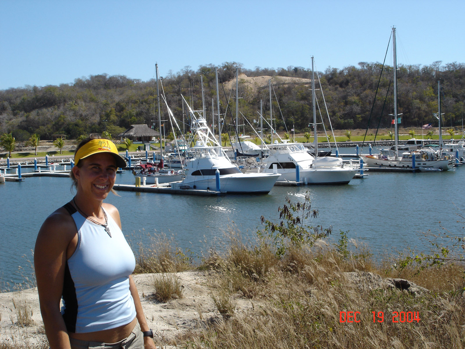
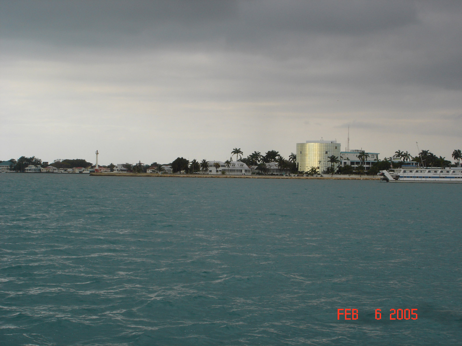
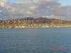
 We pulled in to Bahia Santa Cruz, the main bay of the 9 bays that make of the Bahia de Huatulco. Now it maybe the main bay but it's still very small and it's filled with a cruise ship. We try to find a spot to drop the anchor but it has no room left with the ship right down the middle. We head south 1 bay, it's the other side of some rocks, we are looking for the marina we where told about. We anchor in the bay but it is very open to the swell and wind. We can see some sailboat masts behind a large hill that has a channel leading behind it. A short boat ride in the inflatable into the marine and we are now in the nicest marine we have seen since San Diego. A gentleman walks out on the dock and in perfect english asks if we need anything, Enrique the harbormaster shows us a slip and we go out to bring KUDO in. We have a couple days to wait and we meet several other boats waiting to cross, so we start on the chores. Now Huatulco in is a great place to get held up, great marina and friendly town, we are having way too much fun. We end up in the marina for a week before the winds die down to below gale force. 4 or 5 boats will be heading out with us tomorrow, a couple boats will stay on here because it's such a great place to hang out.
 Merry Christmas to all, we will be somewhere between Mexico and Costa Rica.

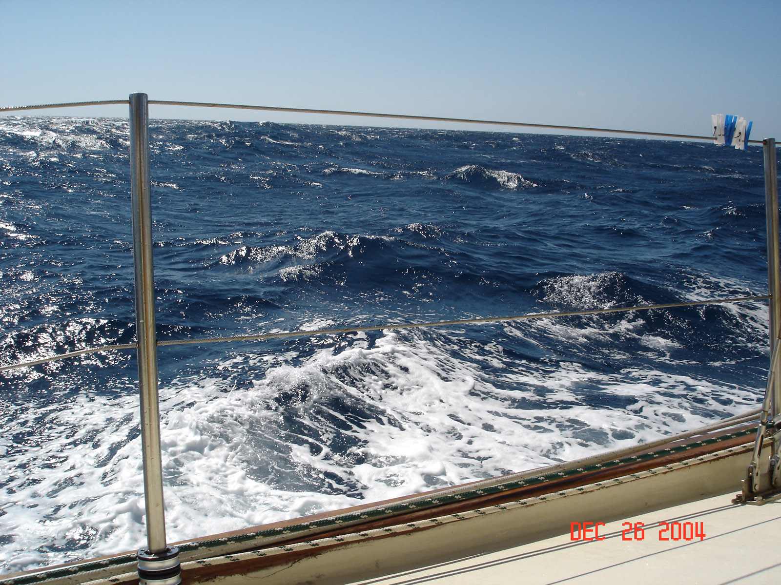
We waited in Huatulco 7 days to cross the Tehuantepec, it's the bay south of the Isthmus where the Gulf of Mexico and the Pacific Ocean are at the narrowest point. The wind can blow at gale force for days at a time when everywhere else is calm. We get a break and sail across in almost dead calm. it's 780 mile to Costa Rica and we have 5 days of perfect weather. Then 120 miles from Costa Rica as we are finishing the crossing of the Gulf of Papagallo the winds starts to blow. The gulf is the narrow point between the Caribbean and the Pacific. We are bashing into 25+ knots of wind and 8-10 seas that are 6-8 sec apart. We avarage 130-150 miles a day now we it takes us 2 1/2 days of bashing to cover 120 miles, very uncomfortable.

On the calm nights we just hang around.

 We found a marina with fuel and head that way for a little rest after 7 days at sea. They want $3 per foot per day for a slip, $180 a day just dosen't seem right so we anchor in the bay for free. We never checked into Costa Rica so we can't go ashore but we can get fuel. We head to Panama after 2 nights of rest and the weather is perfect

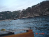
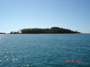 The second day we stop for the afternoon and anchor off this deserted island on the Costa Rica - Panama border. We do some swimming it's nice to be close enough to shore to get a stop in. We have 80 miles to our next stop and we want to arrive in the morning so it's a great place to kill a little time.
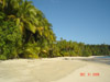
 Great little islands everwhere
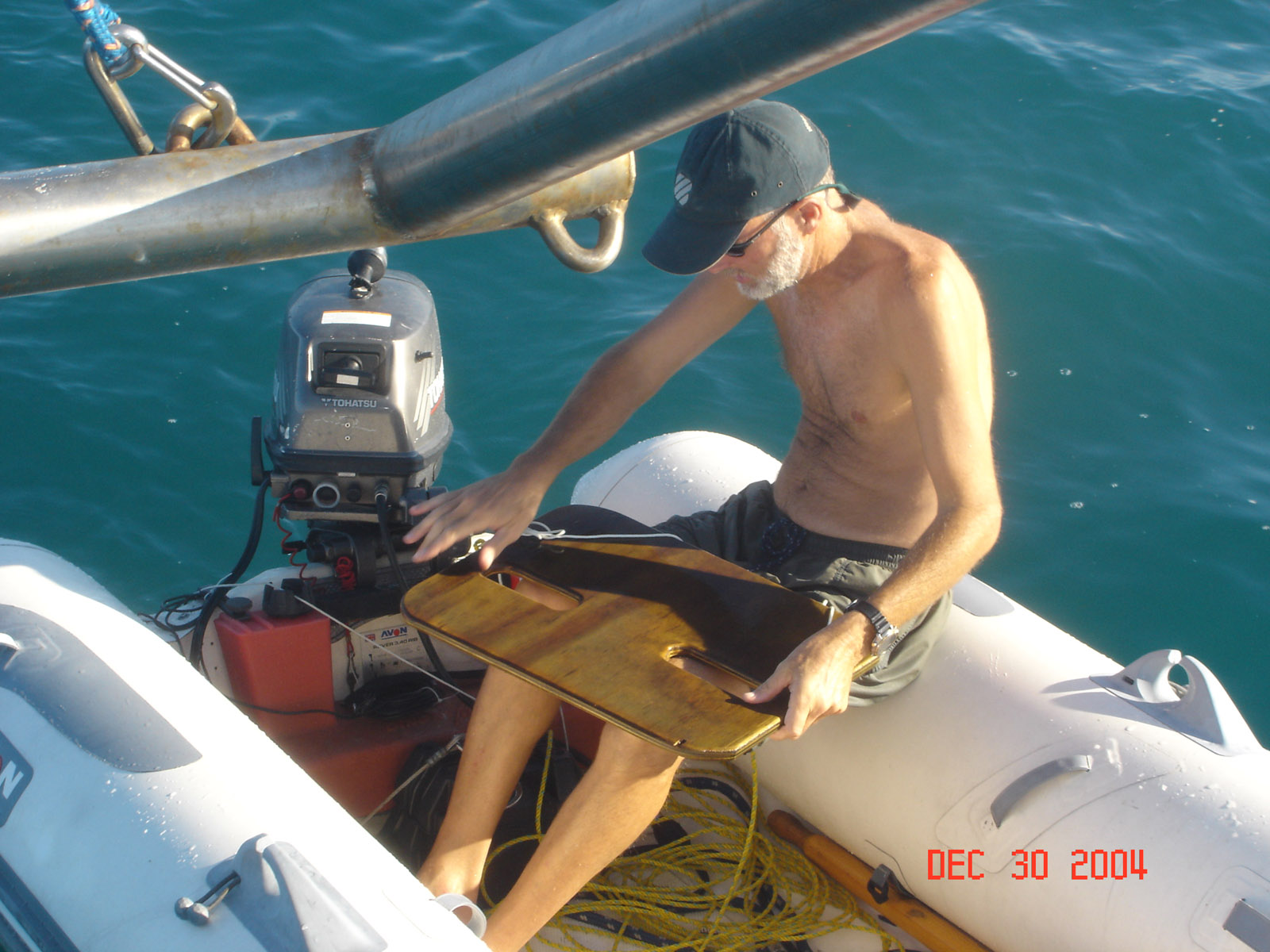
 A cruiser in Mexico showed us this board that you tow behind the dingy when snorkeling. An easy way to see a lot of bottom.
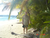
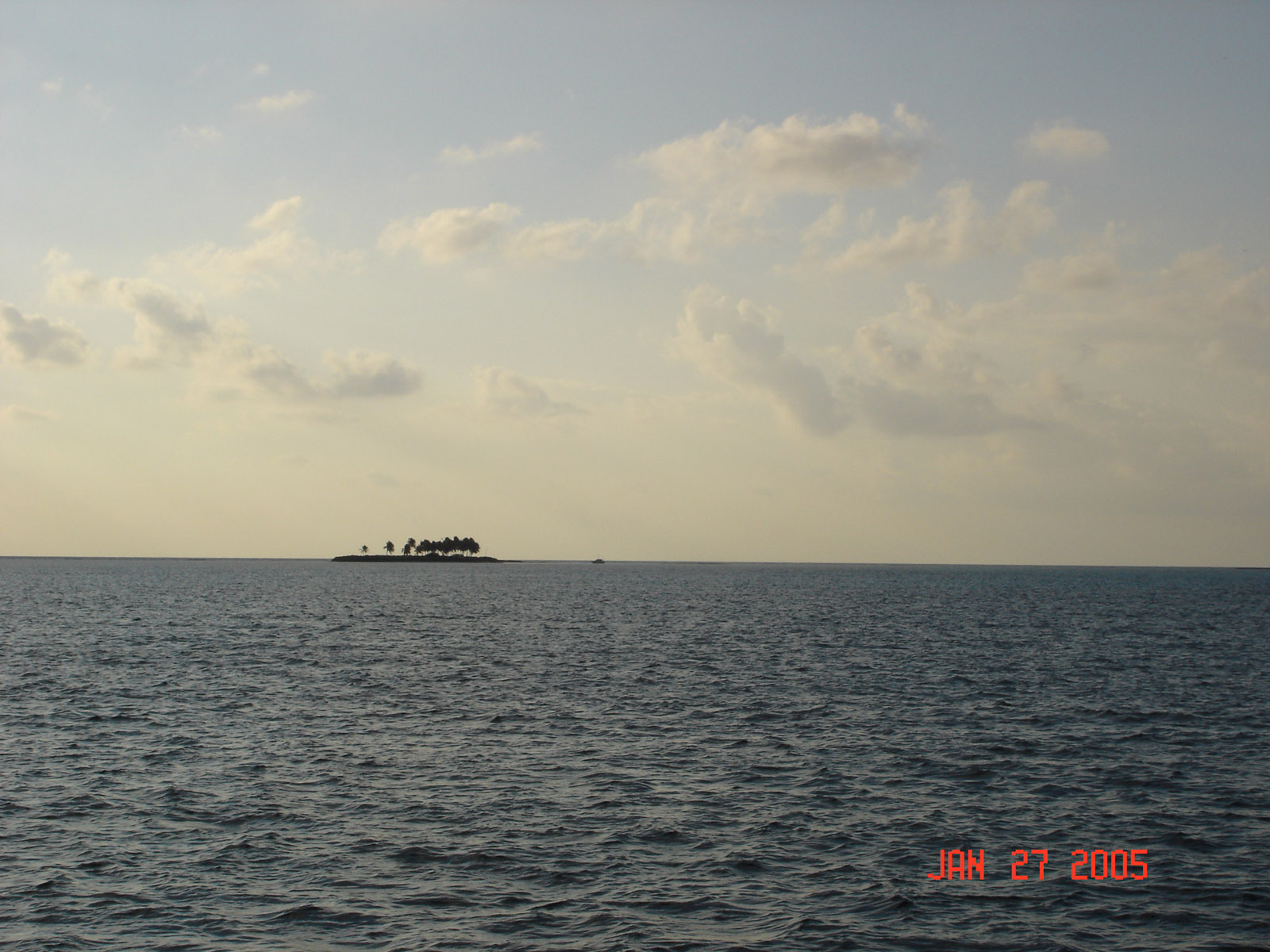
 This is paradise, We spend a night and play in the 87 deg clear water with palm covered white sandy beaches. We want to stay...
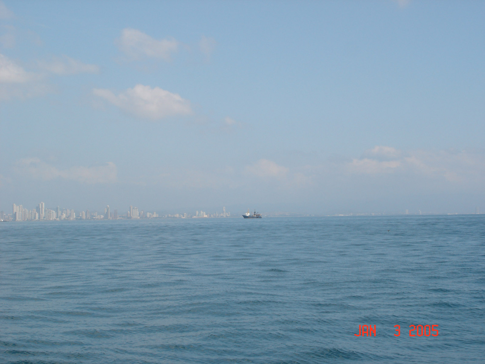
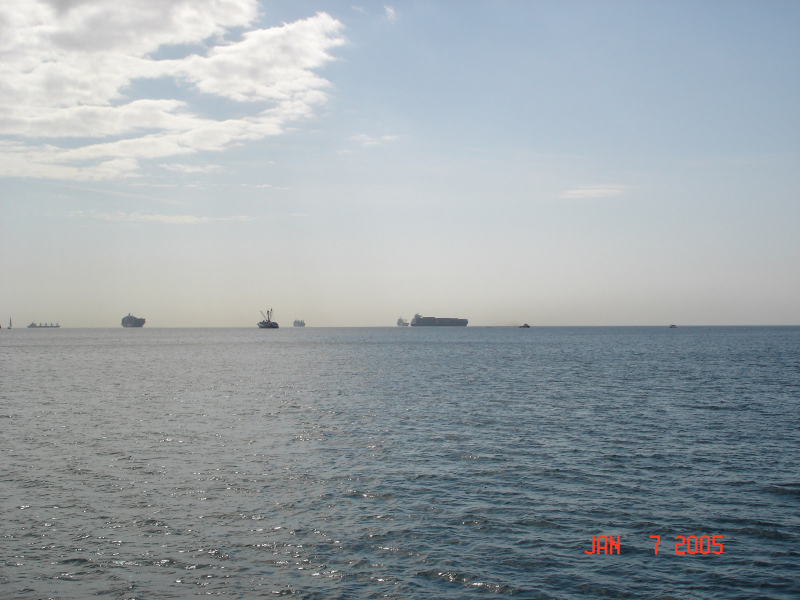
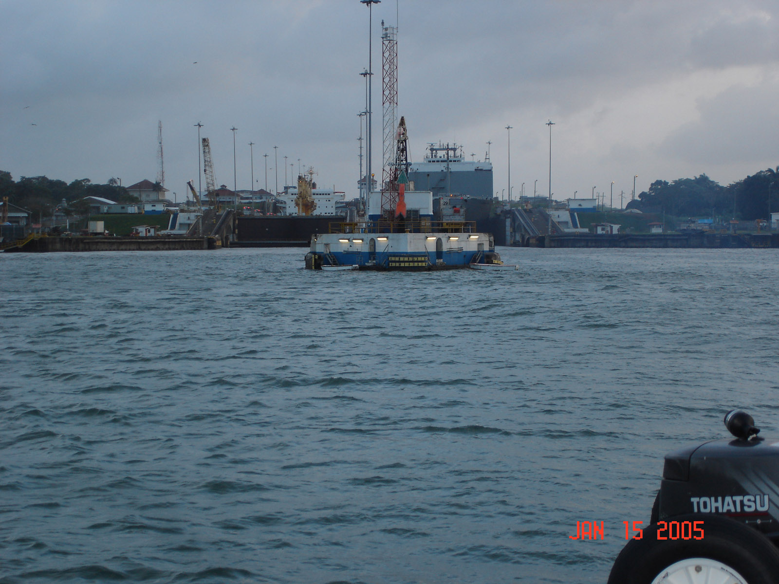
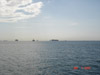
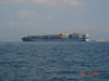 As we approach the canal zone we encounter more traffic that we have seen since San Diego but they are mostly ships. Flamingo Station has control of all traffic on the pacific side of the canal and so we check in. They let us proceed to the anchorage but we have wait for this ship to pass and then get across the enterance before the next one runs us over.
 From buoy 1 at the Columbia River to buoy 1 at the Panama Canal
 on the other side of the causeway is Panama City
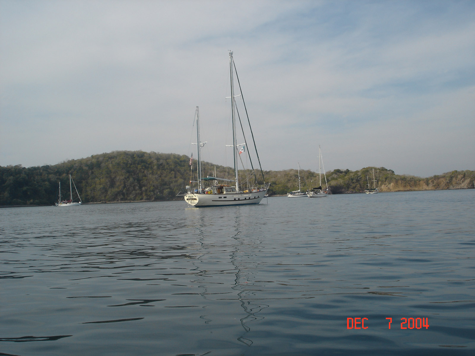
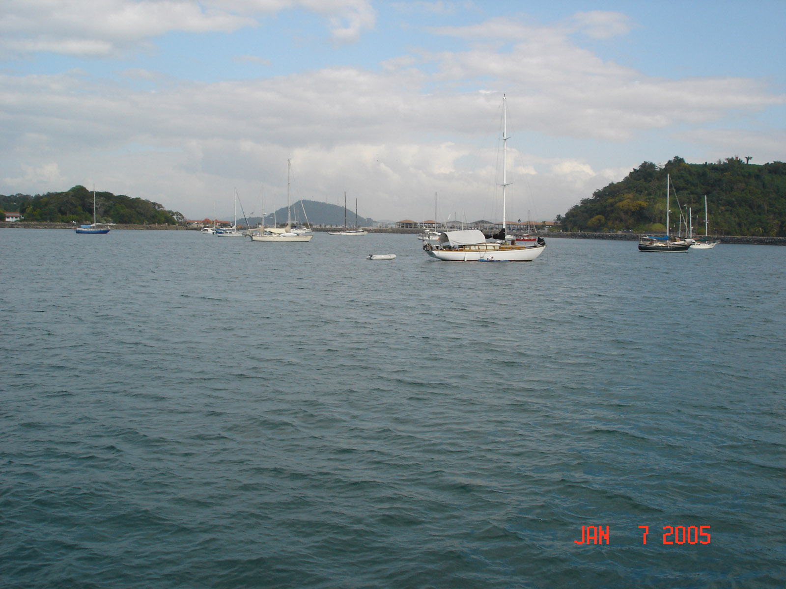
 Looking north and south from the boat you can see some of the boats.
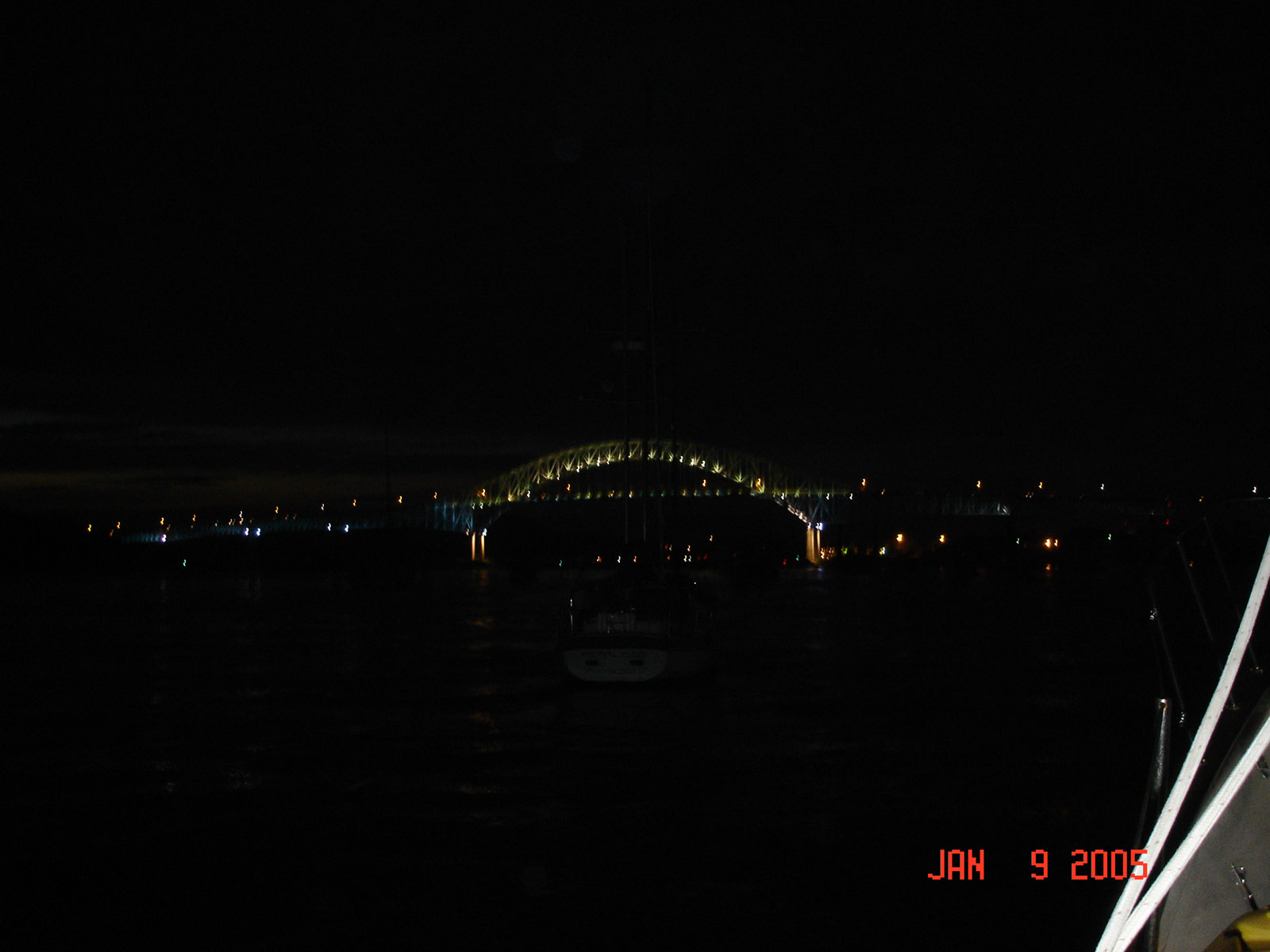
 Setting at a morning ball under the bridge of Americas in Balboa Yacht Club Panama
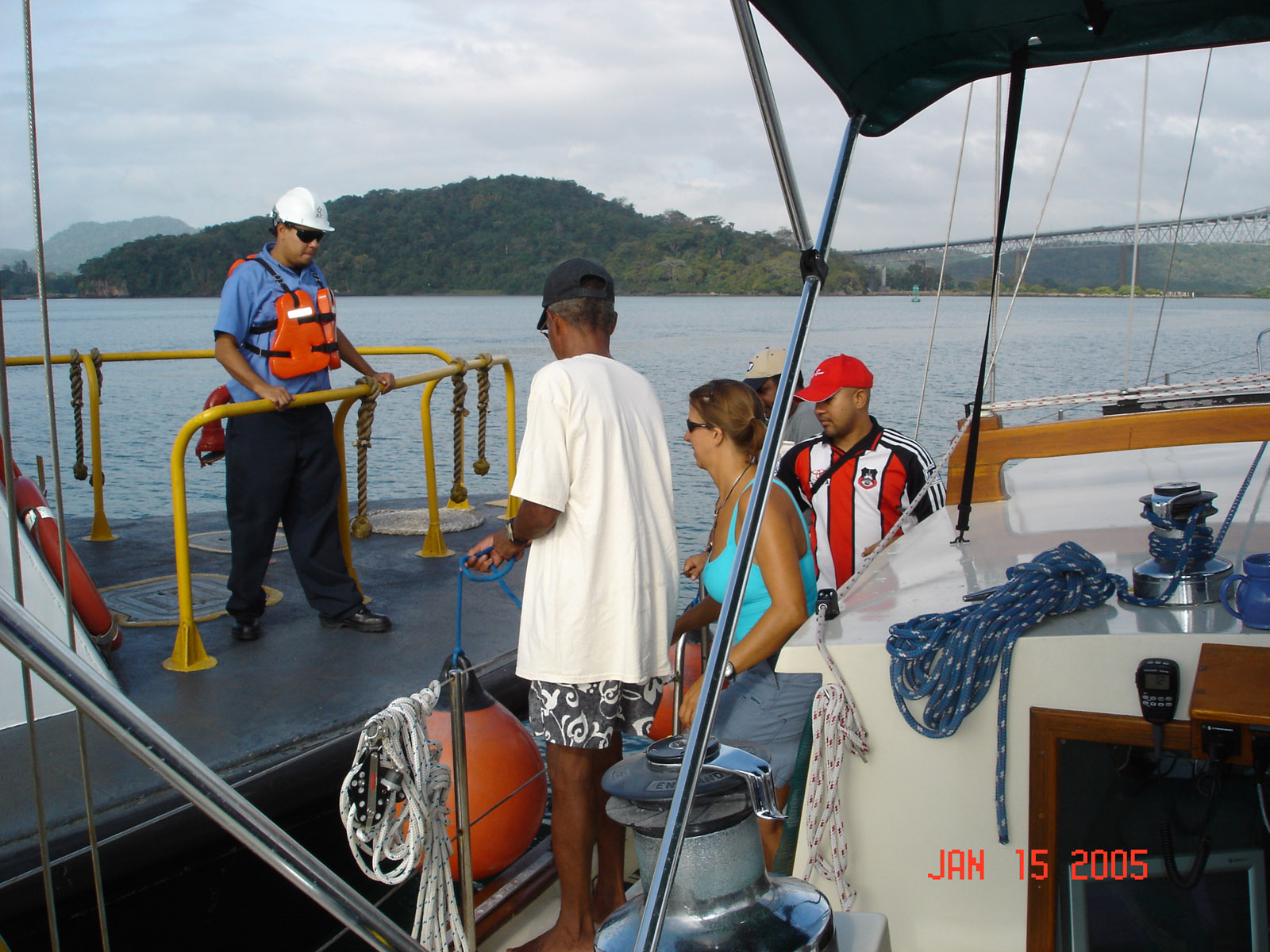
 Our pilot is scheduled for 7:30am but he arrives a 9am and we get underway
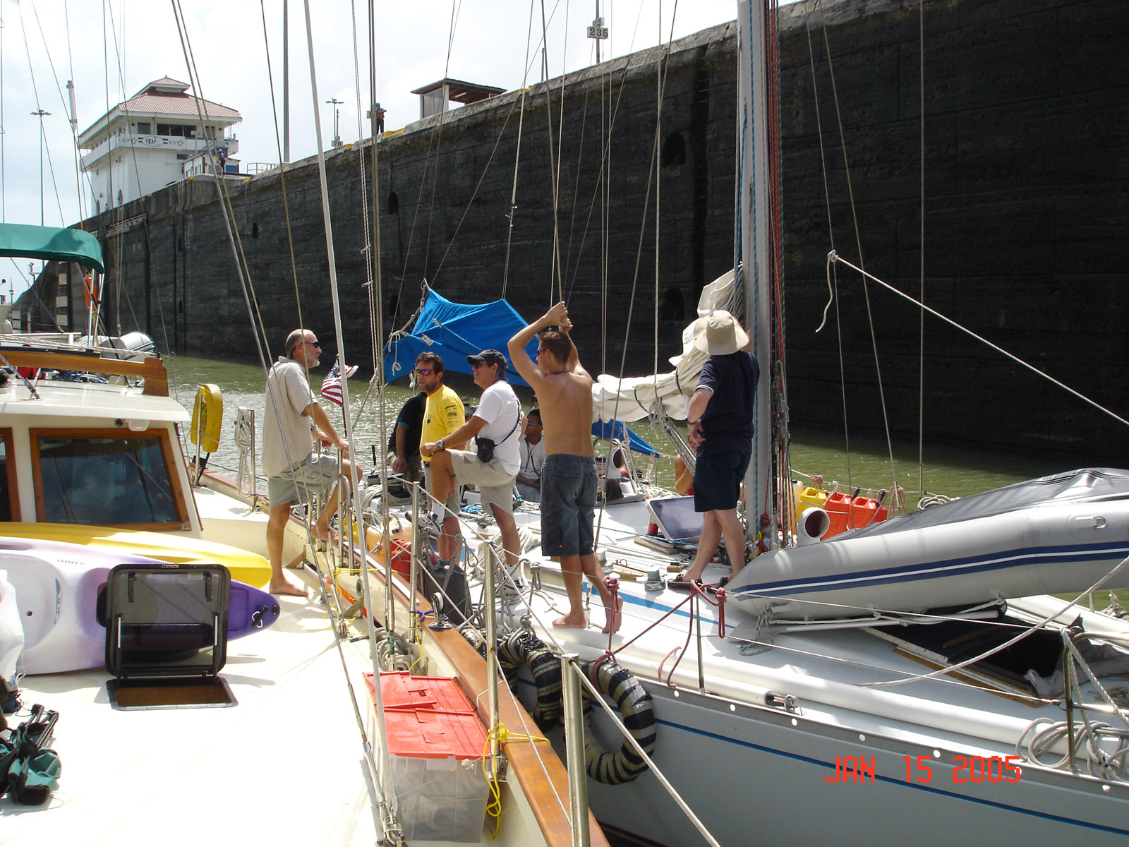
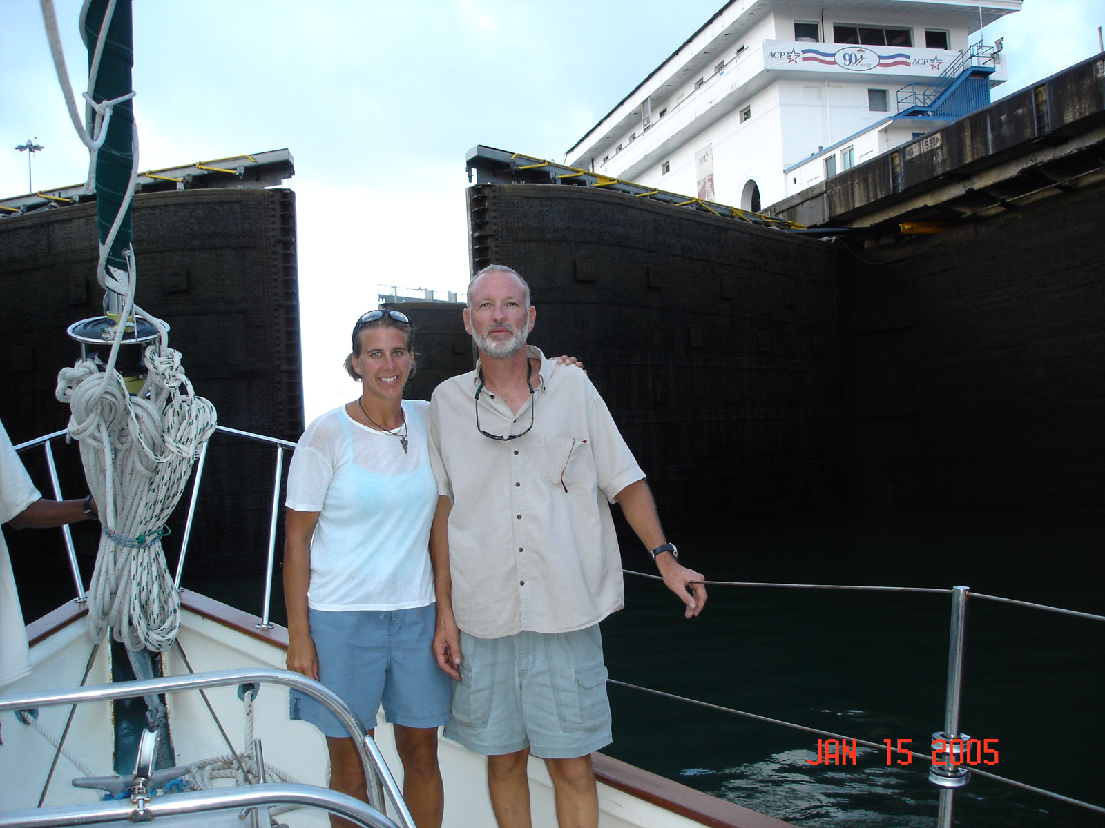
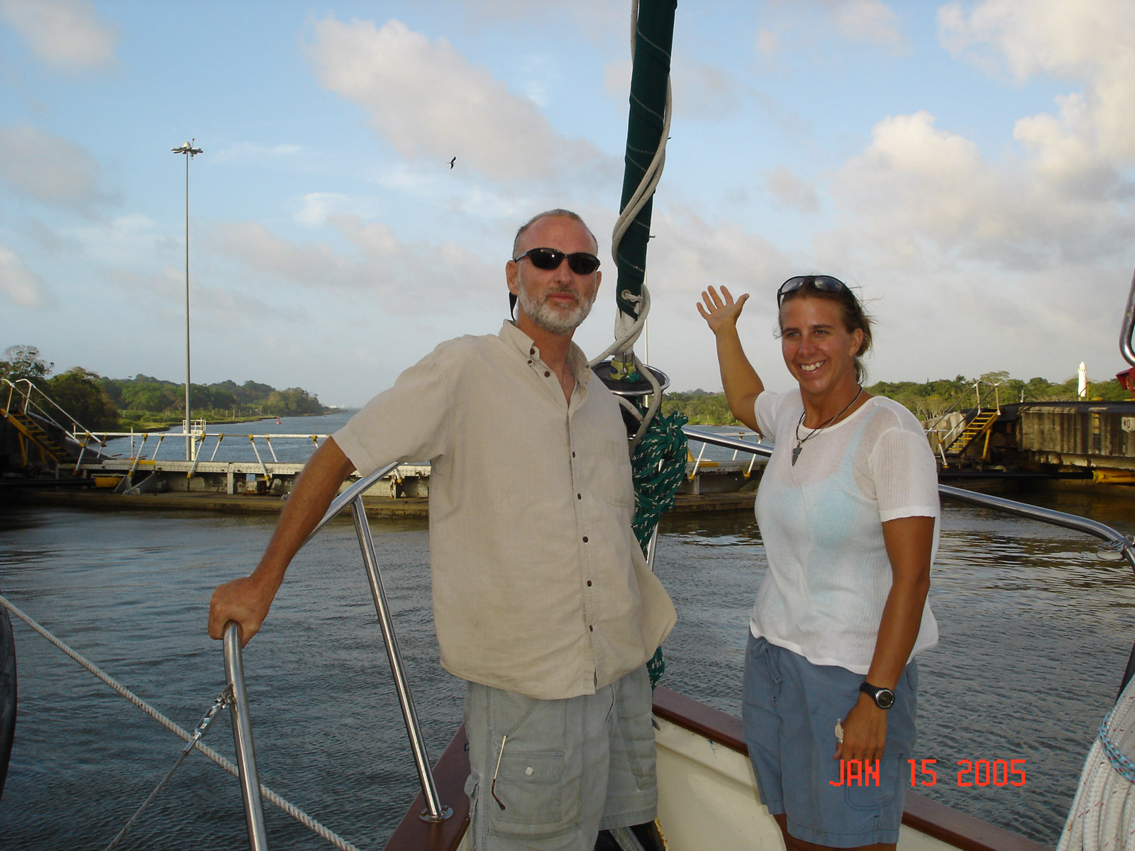
 Aboard with us for the passage are Marshall's dad and Sue. We have 2 professional line handlers that come aboard for the day to handle the four 140' 7/8" lines that will hold us in the locks. We need 4 line handlers but the 4 of us will make up the other 2
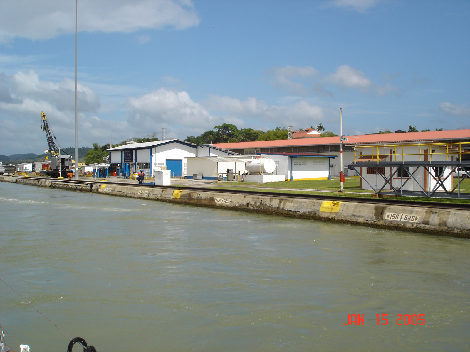
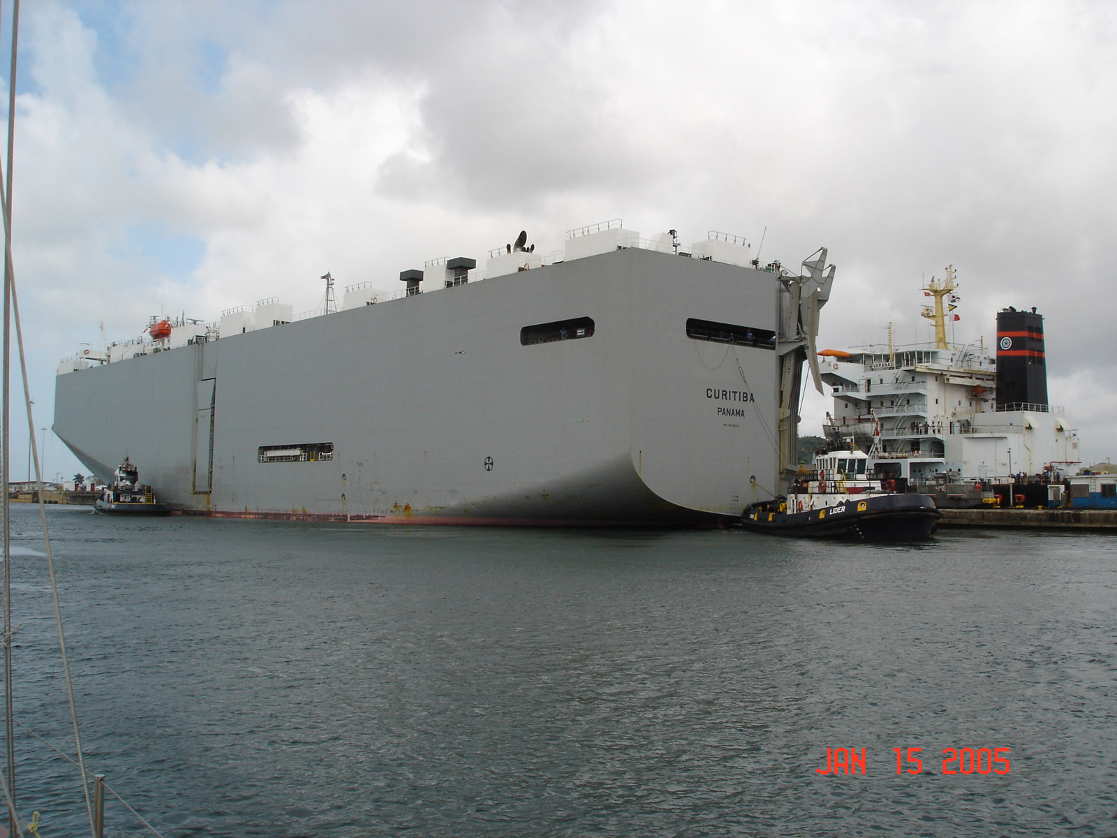
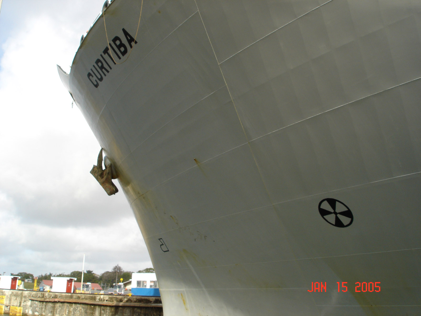
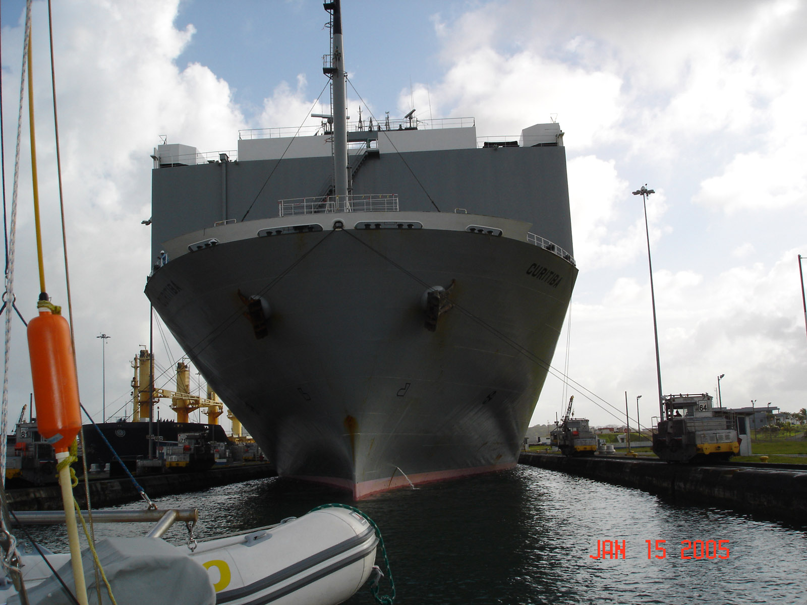
 Entering the first lock. The car carrier is above us in the second lock. We will rise 85 feet in 3 locks to get to Gatun Lake.
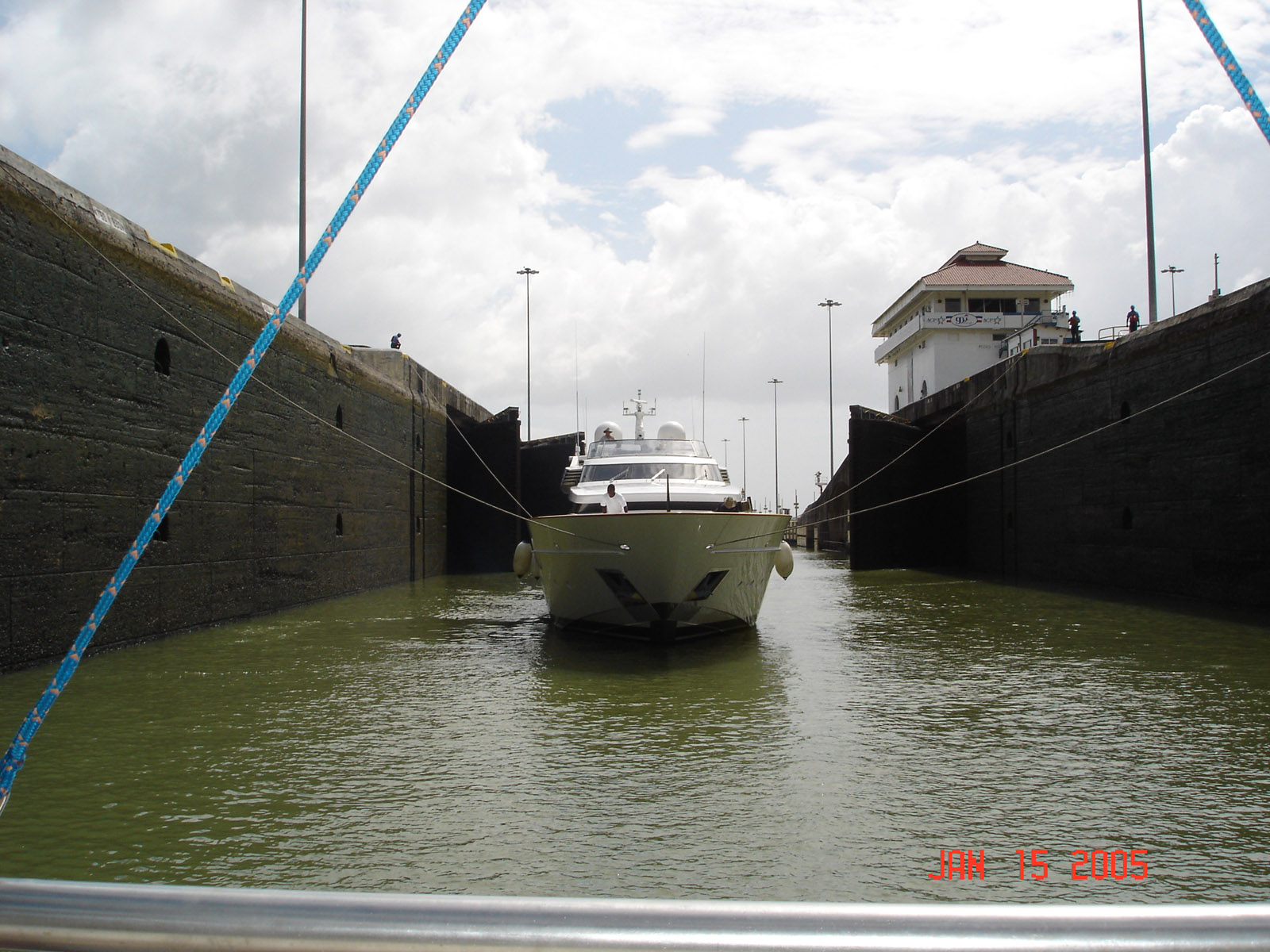
 They fill the 100' by 1000' lock in 15 minutes to raise us up 25' and it causes a lot of turbulence.
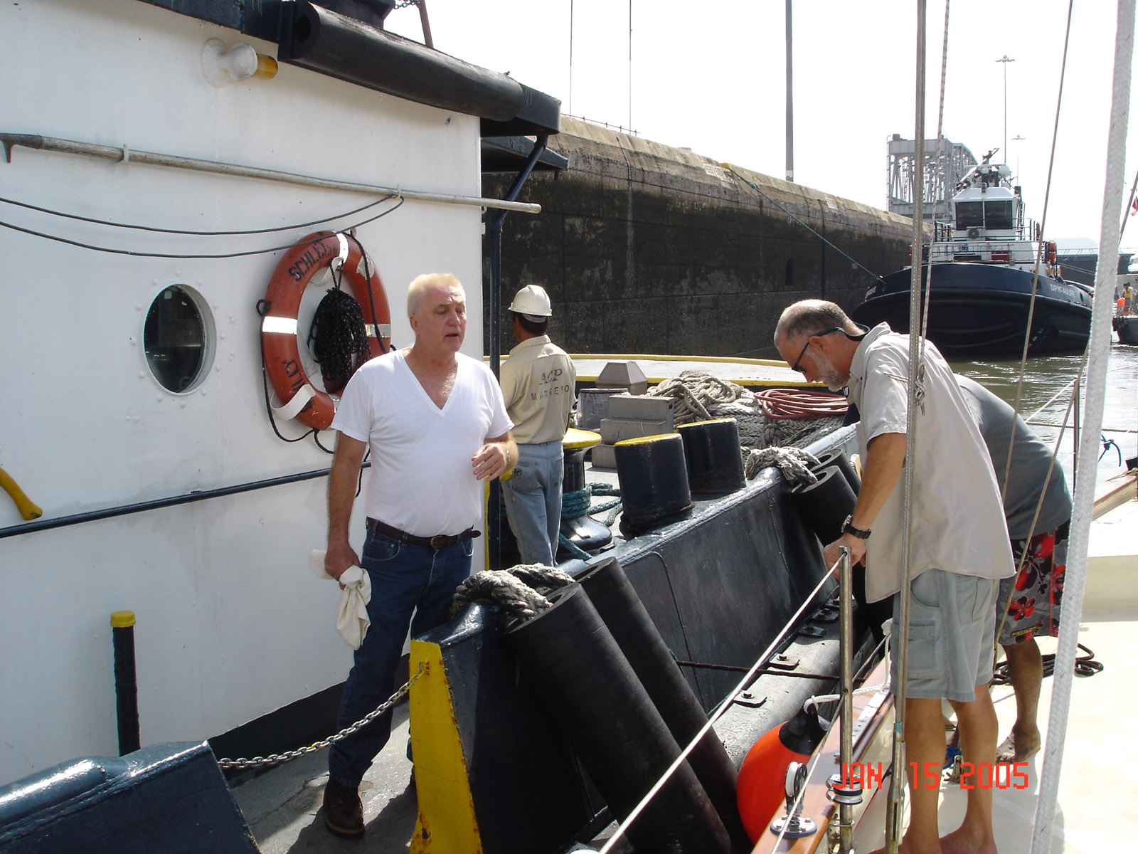
 We are tied to the side of the tug and he is tied to the lock wall, as the water rises he keeps us on the wall and we just go along for the rise, very easy way to go. We are talking to the tug captain as we up lock, he is full of useful information.
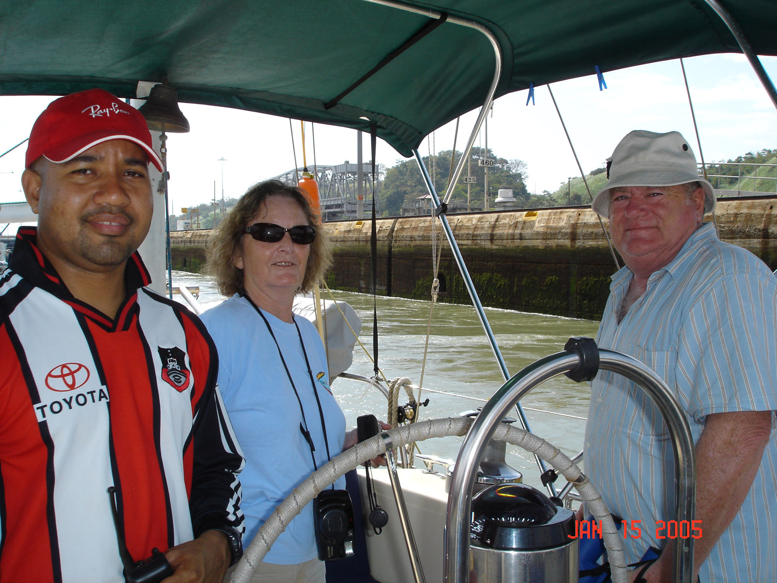
 Or pilot and Pop and Sue are here with us
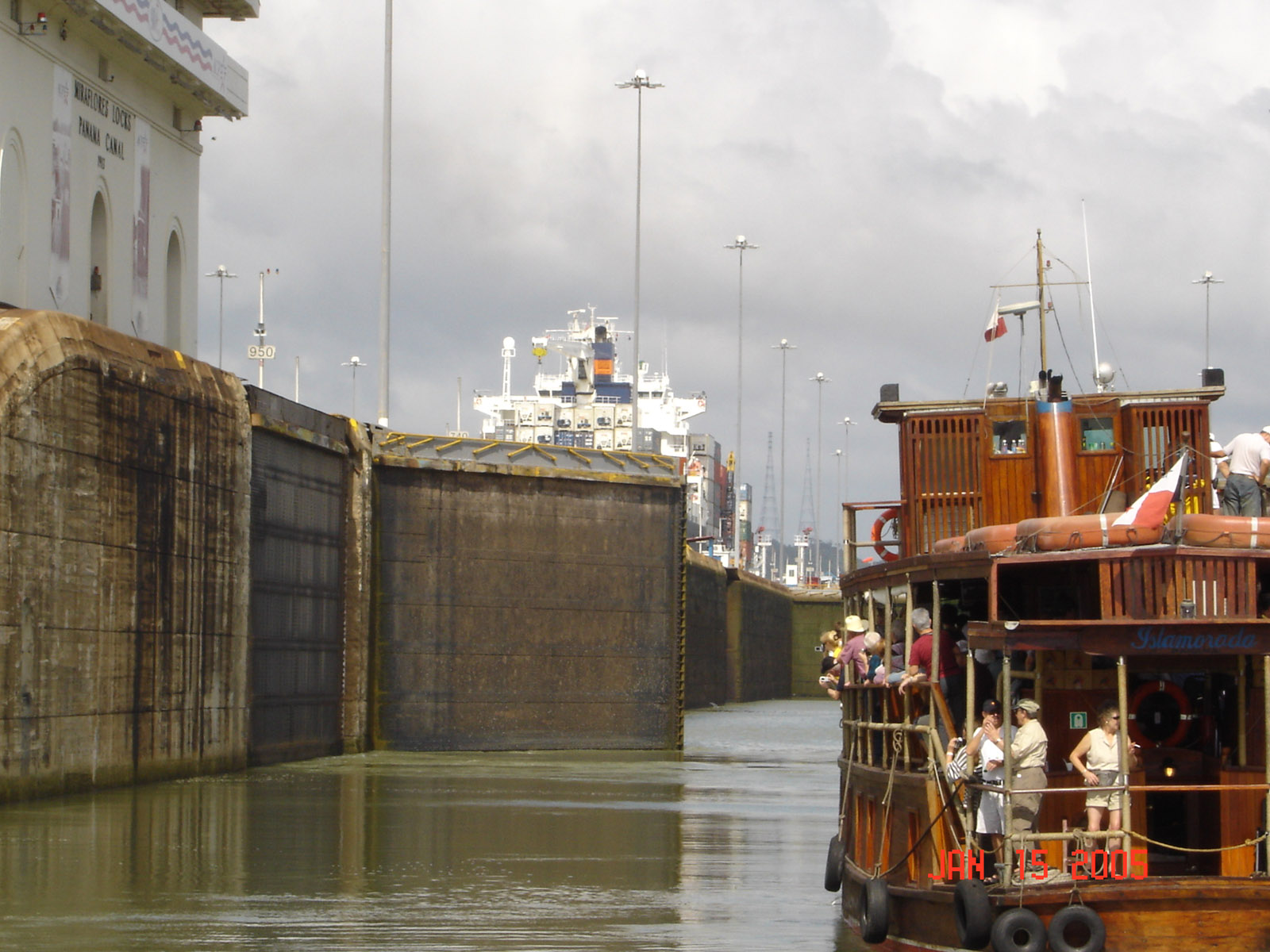
 Doors open and we untie from the tug to move into the second lock
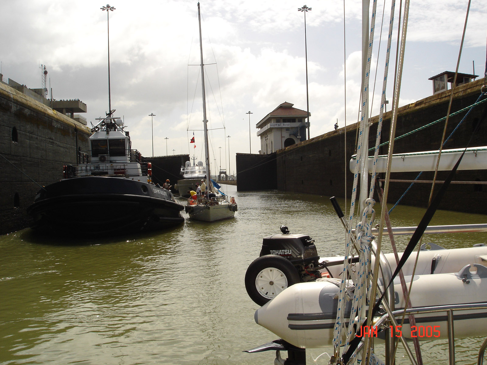
 We are again tied to the tug and the gates close behind us
 The lock fill to the top and we can see the operation.
 on the third lok on the Pacific side a 42 foot sailboat from Hawaii rafted off us and we where rafted for the tug
 for all three locks going up a 110 foot yacht was tied center chamber. All 4 lines need line handlers that pull the lines in as the vessel rises to keep it in the center of the chamber, we had it easy.
 26 miles through the lake to the Atlantic lock. 85 Feet above sea level the lake was created for the canal by damming a valley
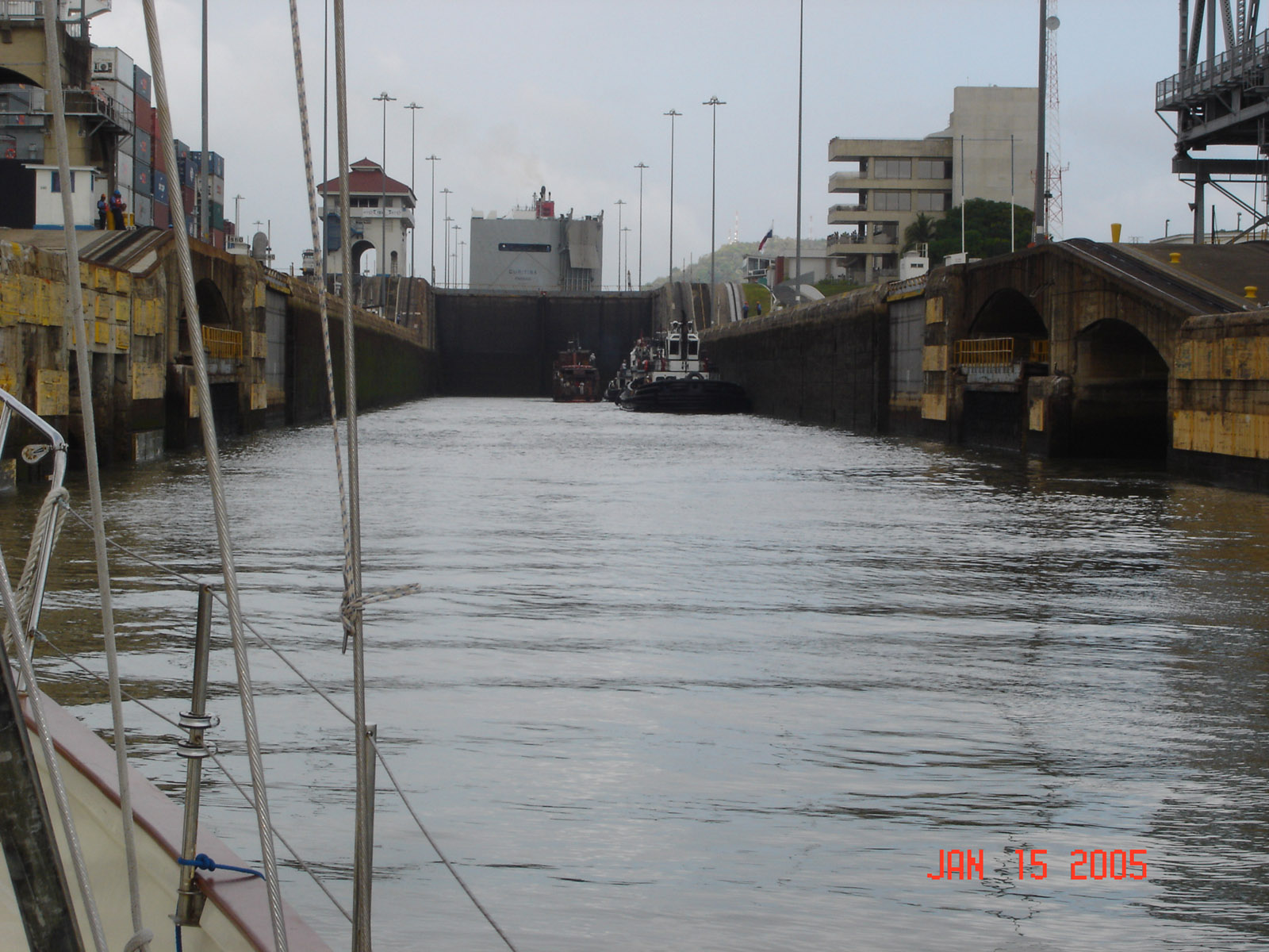
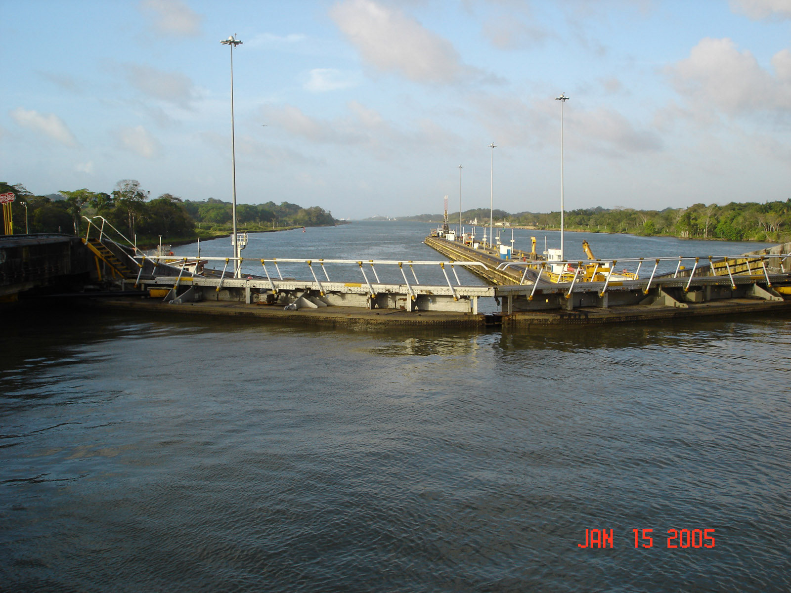
 When down locking yachts travel in front of the ships, but we wait for the ship to get into position.
 Once the ship is against the sea wall we pass to get ahead of it in the chamber.
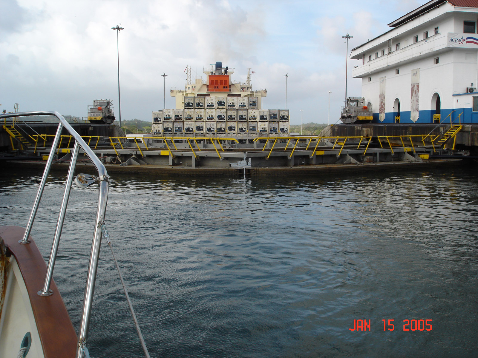
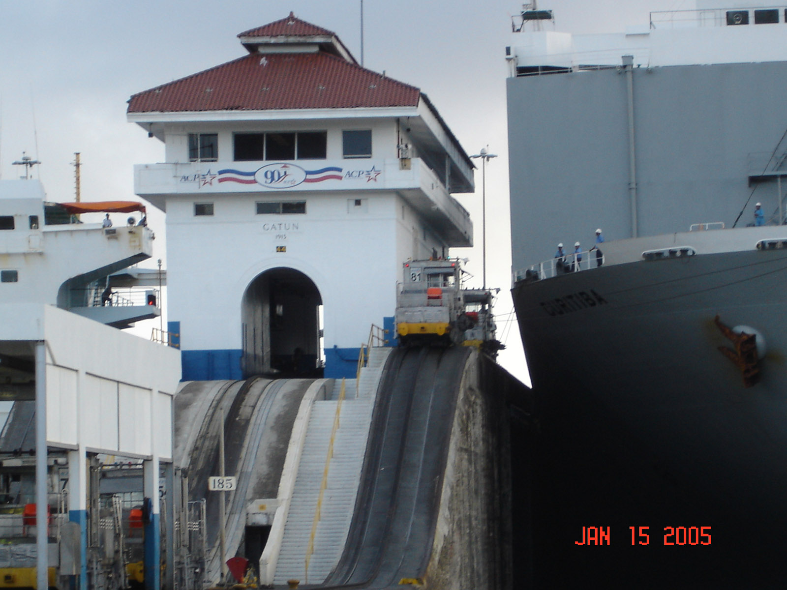
 We are tug tied again and the ship is tied to eight locomotives called mules that move it from lock to lock and keeps it center chamber.
 We are ready to down lock at the top of the first chamber
 we are at lake level and the gates are closed now we can drop to the level of the second lock
 We drop to the height of the second lock and the gates open
 The ship is moved by the mule into the next chamber, we heard no scraping sounds.
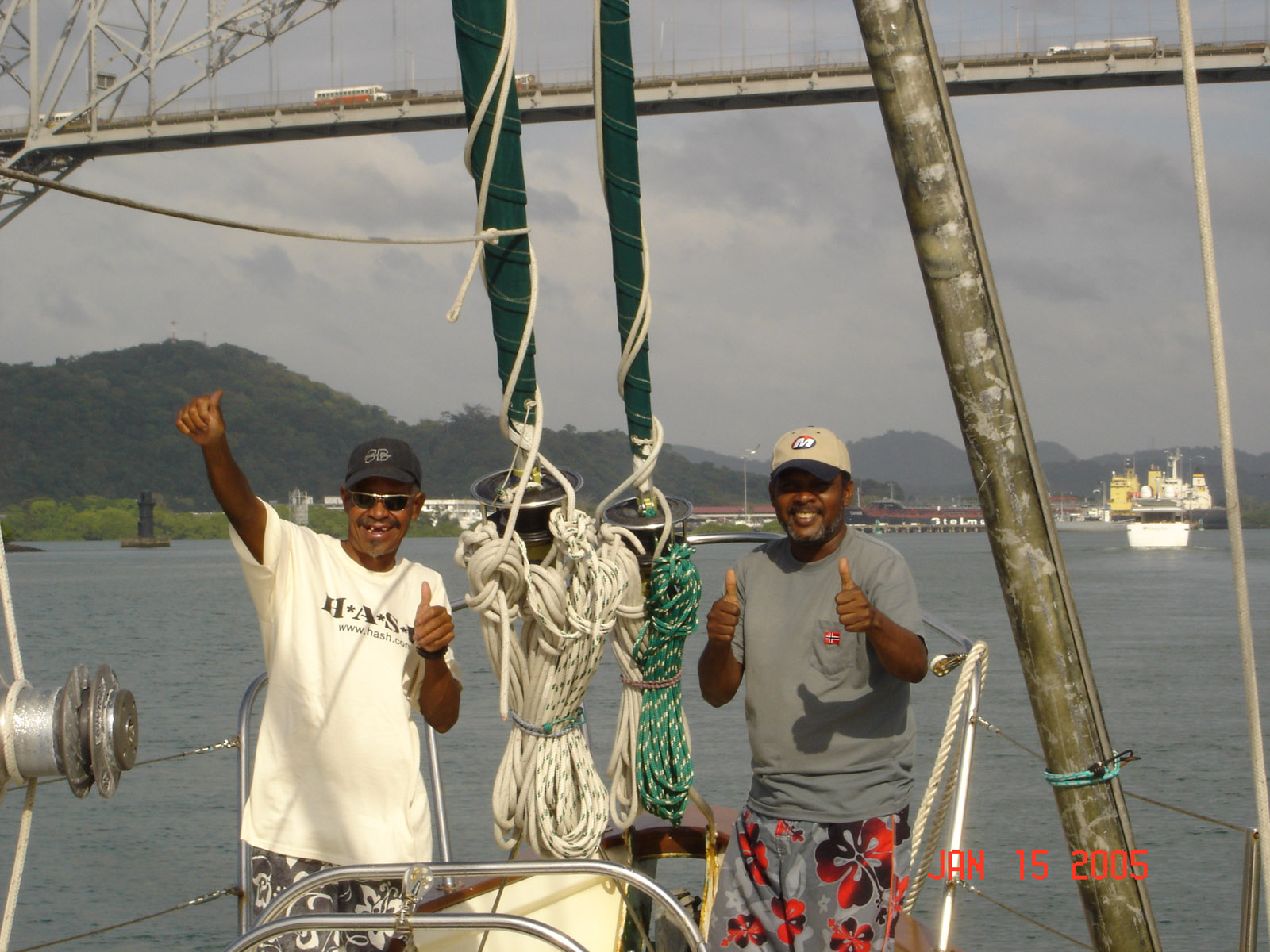
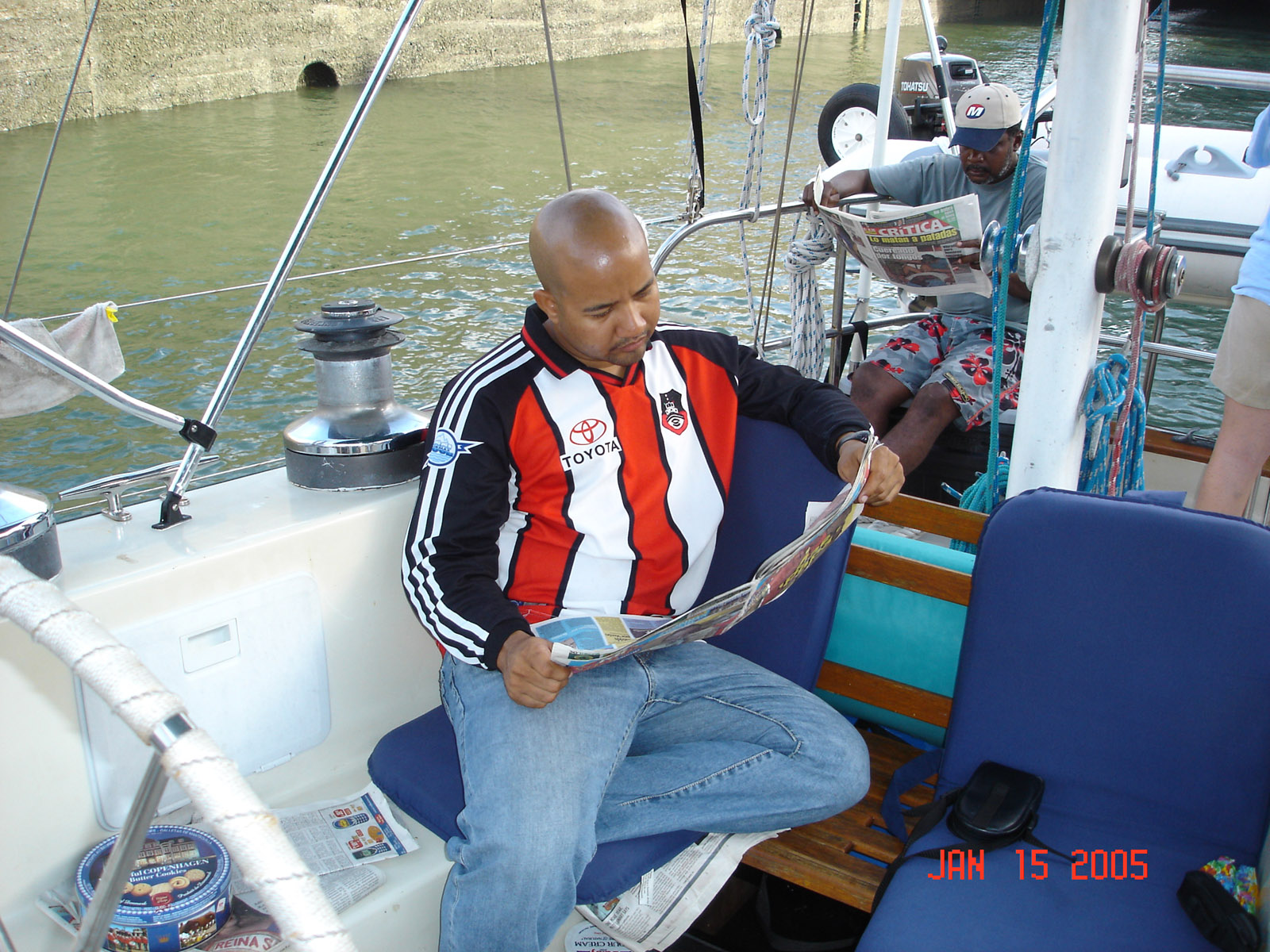
 Being tug tied we didn't have much to do and our pilot found ways to kill time.
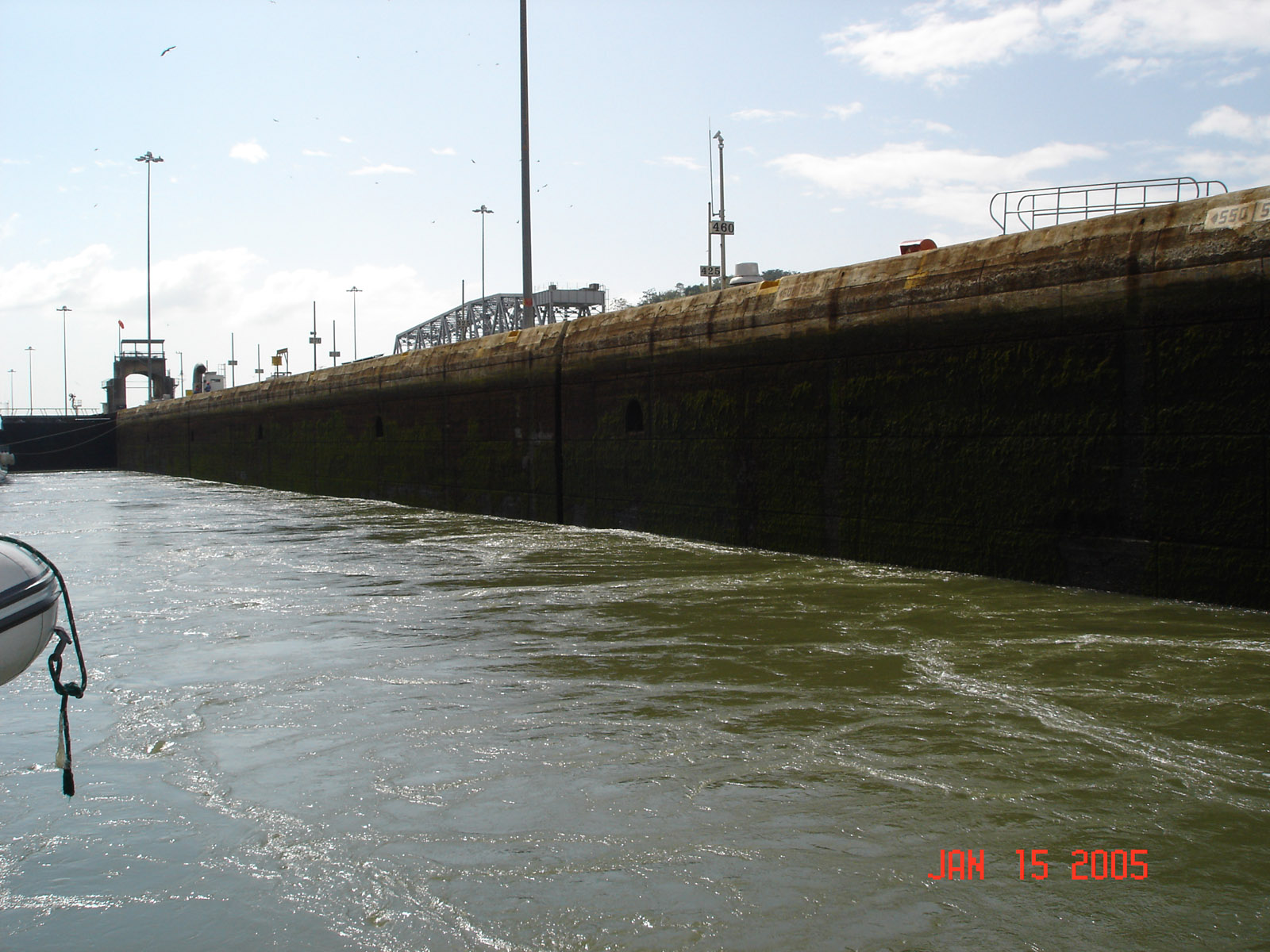
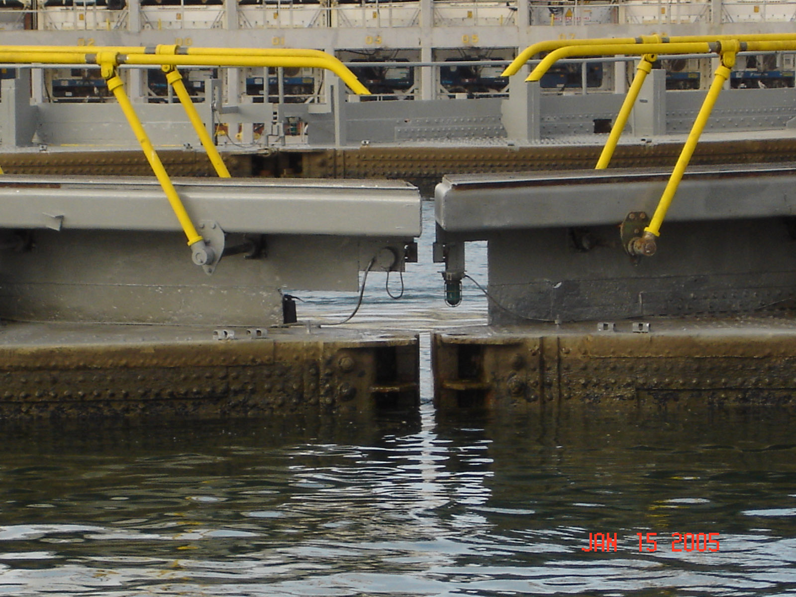
 Looking down into the last lock
 Looking out over the last lock towards the Caribbean
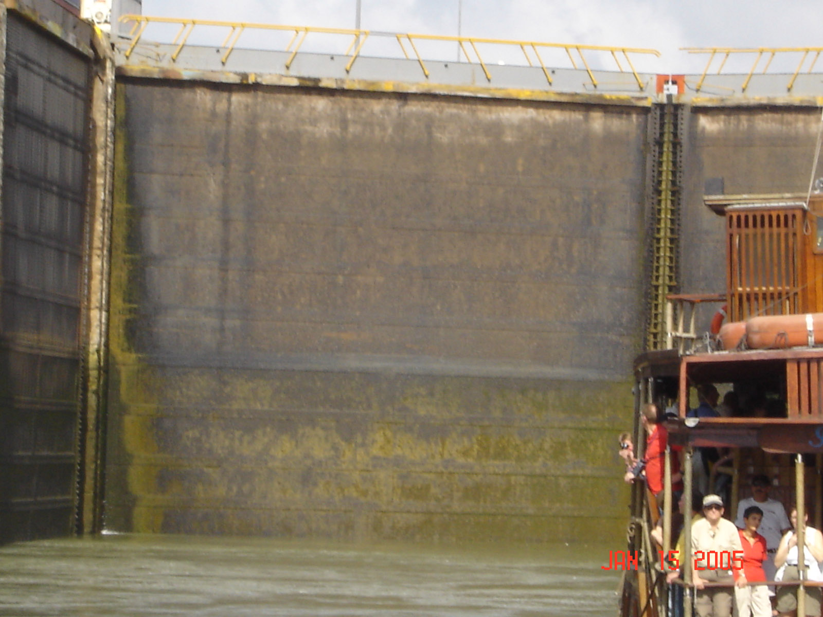
 The gates look giant from the bottom
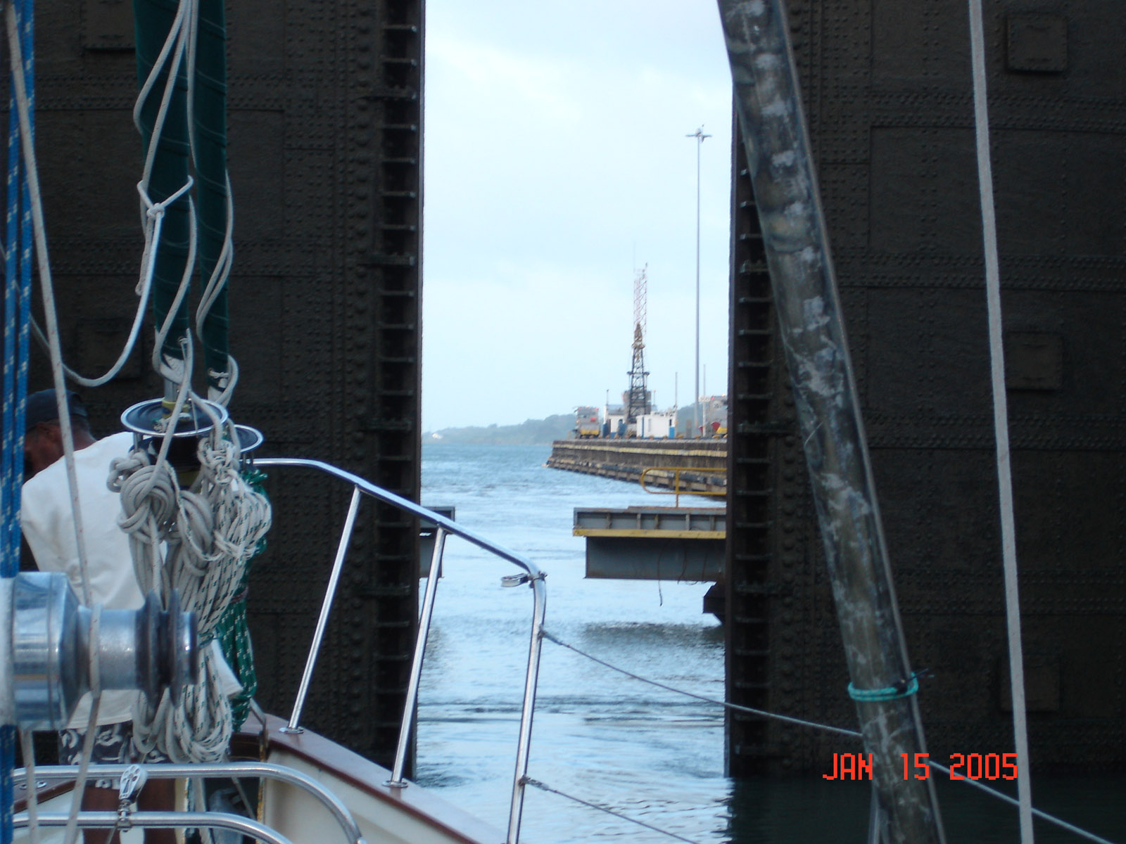
 We are on our way out and have finished the transit all we need to do is drop the pilot off when we get near the anchorage
 They have 2 sets of locks they both travel north in the morning and south in the evening. We started our transit at 9am and had anchor down at Colon by 6pm, It could not have gone better.
 After transiting the canal we waited a week for the weather to calm down enough to leave the harbor. It was still blowing 20 knots and we had 8' to 9' seas for the first day but they clamed to 10-15 knots of wind and 6-8' seas the second day and it was a much more comfortable. When we were planning this trip we figured that once we got past the Pacific the Caribbean would be a breeze, we where wrong. The Christmas winds blow from December through February and the lows just keep pilling up from the north. 12- 15 foot seas and 20-25 knots of wind is normal for those 3 months. We waited a week and could not stand Colon any longer we had a small break and headed north.

 A storm front was headed south from the Gulf of Mexico so we slipped into Providencia, Columbia harbor. It was a a great little island with very friendly people 450 miles from Columbia and 75 miles from Nicaragua. We Snorkeled around the reef and played on the inflatable. We were anchored with 10 other boats in the bay and all the cruiser gathered on the beach in the evening for drinks and appetizers.
 We sailed the 500 miles to Belize with a couple that was crewing on a sailboat that was having engine problems in Providencia and they needed to get to Mexico for their flight. They made the trip to Belize with us and took the bus to Cancun.
 Our Crew on a Belize Cay Kelli is from Canada and Will is from England. They have spent the last 8 months traveling South America, Will is headed back to England and Kelli is headed to China.
 We spent a couple days in Placentia getting checked in and enjoying the small town with Kelli and Will. They left on the bus on Tuesday and we headed to Belize City.
 The beach is protected by a cay so the bay is always peaceful. Many small shops and open beach restaurants in a town of 500 people, not yet a tourist destination... We will spend 3 weeks in Belize working our way north at a very slow pace. We have 750 miles to go to Florida and have traveled 5104 miles so far. As we worked our way north to Belize City we stop for the night at Colson Cays. It is always fun to anchor in 8 feet of water with a boat that draws 7.5 feet, but you could see the bottom as we approached the anchorage.
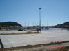
 We anchored off the tip of Belize City the first night. The guy at the fuel dock said they had more than enough depth for us to pull and get fuel. He was wrong, about 50 yards off we started plowing in to the mud and as we turned to head back to deeper water we left a 200 foot path of muddy water behind us. We then head 3 miles north to Maya Cay which had a fuel dock with 8 feet of depth but when we arrived it was closed... and had been for years. A guy at the dock told us about a new marina on the south side of town that had fuel, so we headed that way. As we approached Cucumber Beach Marina we call on the VHF radio and spoke to Paul the harbor master and he said they keep the channel at 7 feet. He told us it was soft mud and if we waited until high tide, it's only 1 foot here, we could get in with out to much bumping.
 So we anchored off the harbor entrance until 3pm and headed in. No bottom was hit and everyone was surprised, guess it's normal here. We spent the night tied to the dock and at high tide headed back out to the main anchorage off the city.
 We anchored off the Fort George pier a couple nights. It didn't offer much protection from the wind but it was convenient to downtown. We took the inflatable up the creek a couple times but that part of town is pretty nasty.


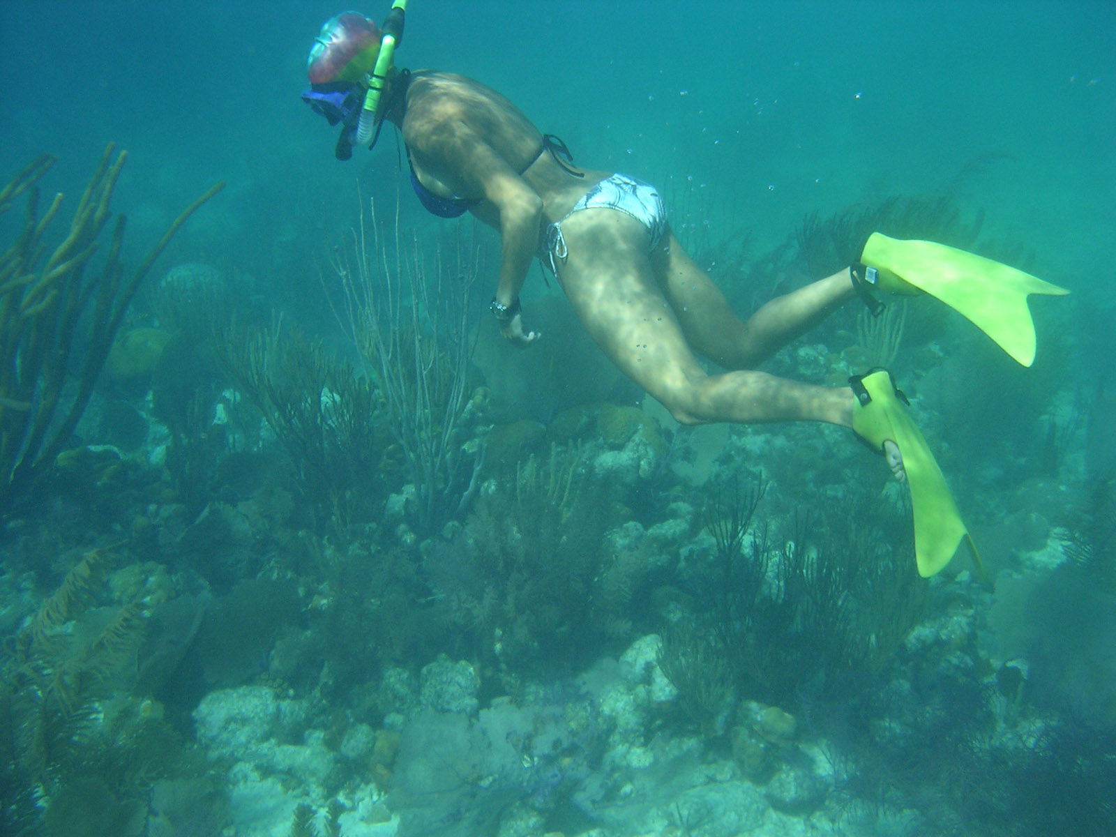
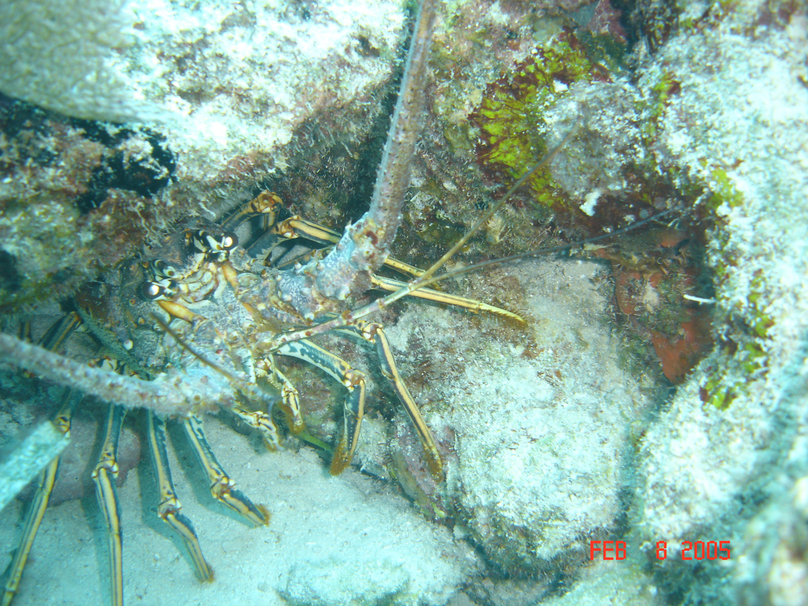
 We anchored at Turneffe Atoll on the ledge next to coral headed for the first 2 nights. We could swim 50 feet over to snorkel around in the shallow corals and play with the Fish. Most of the cays on the atoll were covered with mangrove trees that grow right down to the water so there were no beaches. Liza doing some snorkeling and she found the lobster but she could not get it out of its hole snorkeling and without a tool.
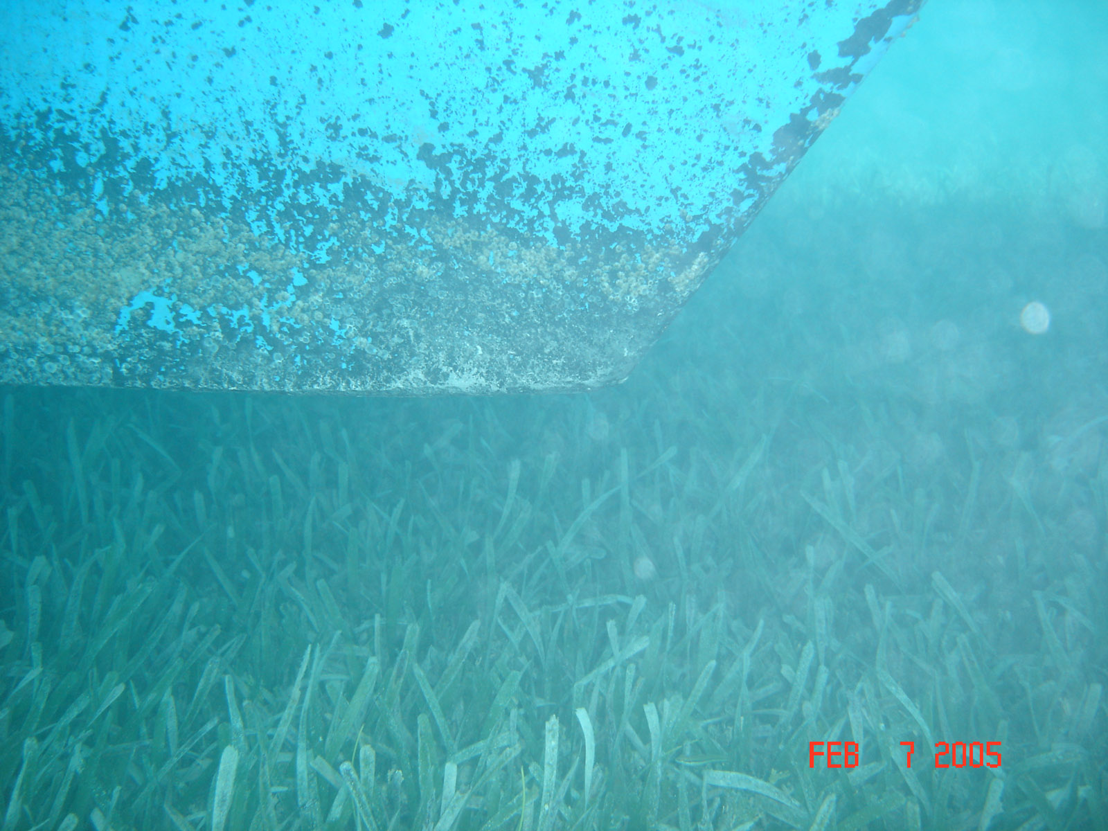
 We where anchored in a little over 8 feet of water and the boat draws 7 1/2 feet but we never bumped the bottom. This is the front of the keel 6" from the grass on the bottom. The tide is less than a foot and no swell so we didn't need much clearance.


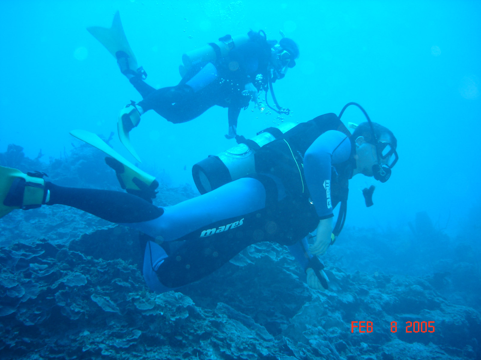
 We did a couple dives on the reefs edges, it had a good wall and lots of life. The reefs edge was 100 yards west of us and was a great dive. David and Kristen are looking around
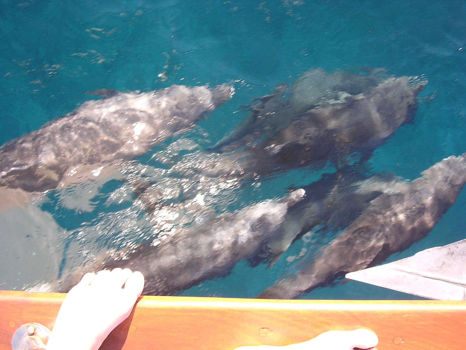
 On the way from Turneffe Atoll to Glovers Atoll we had a school of dolphins swimming with us. The dolphins like to swim in the bow wake. Along with Lighthouse Atoll which lies about 15 miles east of Turneffe they are the only 3 atolls in North and South America
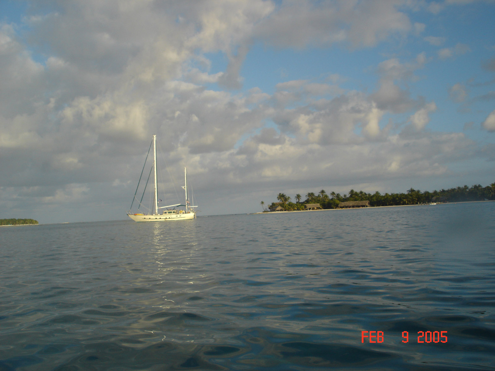
 At Glovers Atoll we anchored inside the atoll behind Long cay. Its a very narrow pass that weaves between many coral heads had around a sand bar that was a n island before Hurricane Hugo in 1998. We never would have made it but one of the locals came out in a boat and guided us through. We anchored in 9' of water so it felt pretty deep and had great protection from the waves

 The white sand slopes down to about 30 feet of water and the barrier reef pops up and then drops to 2000 feet of nearly vertical wall. Jacques Cousteau rated this as one of the 3 best dives in the world. With 200 feet of visibility and a very active reef with almost no current. We tied the inflatable to a buoy and drop into 35 feet at the top of the wall and descend down and back up only to be right below the boat.
 From 100 feet deep you could see the waves on the surface
 Playing on the beach at the top of the wall

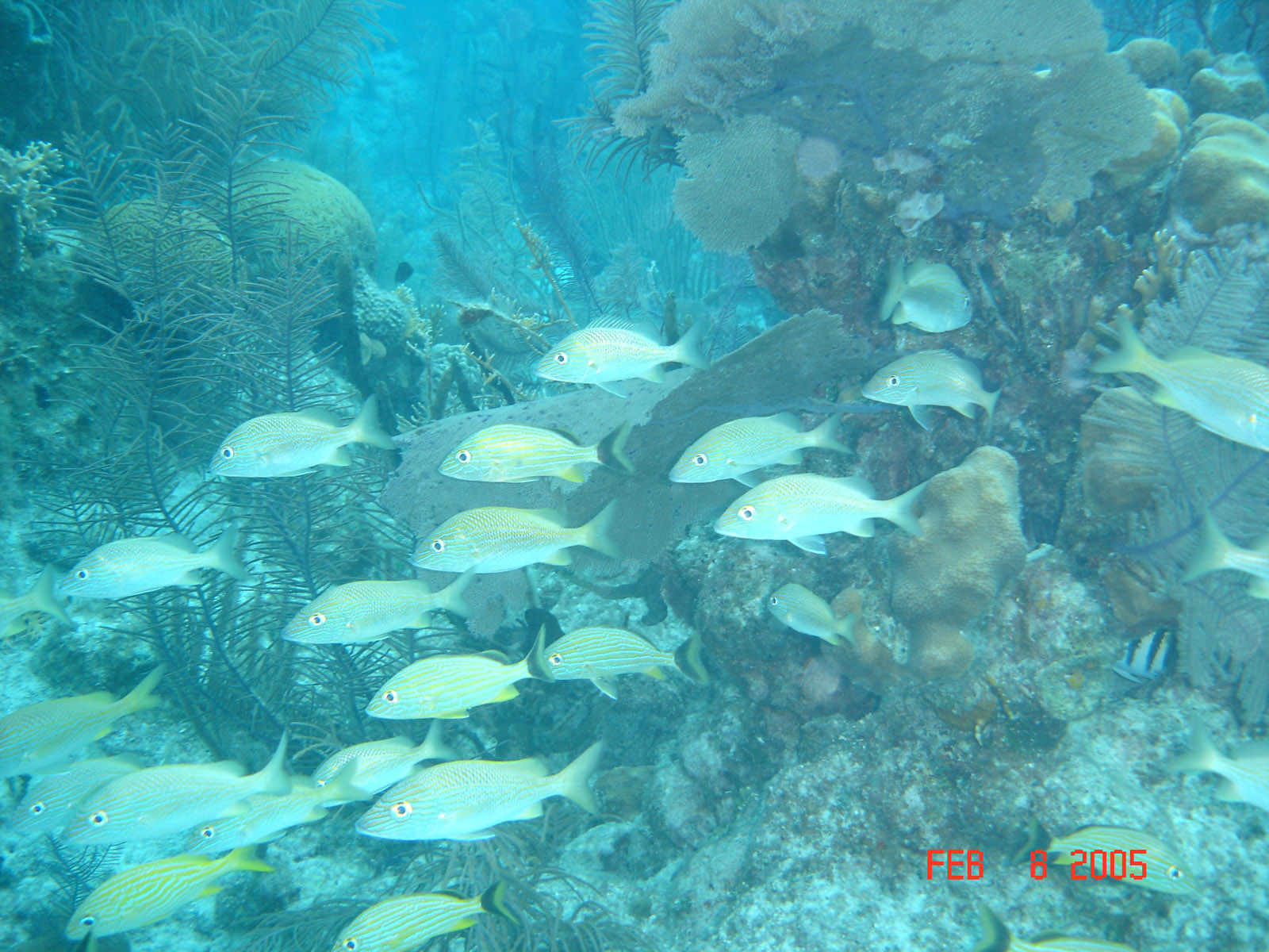
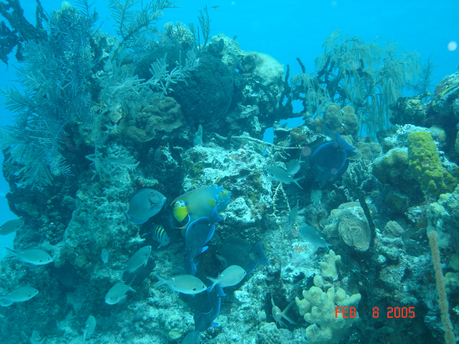
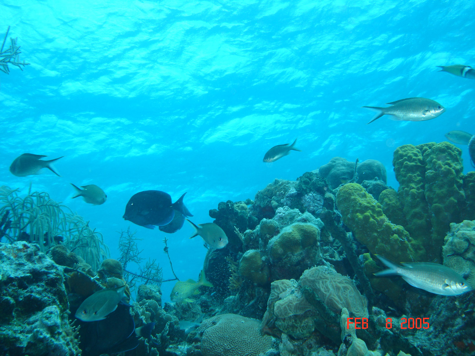
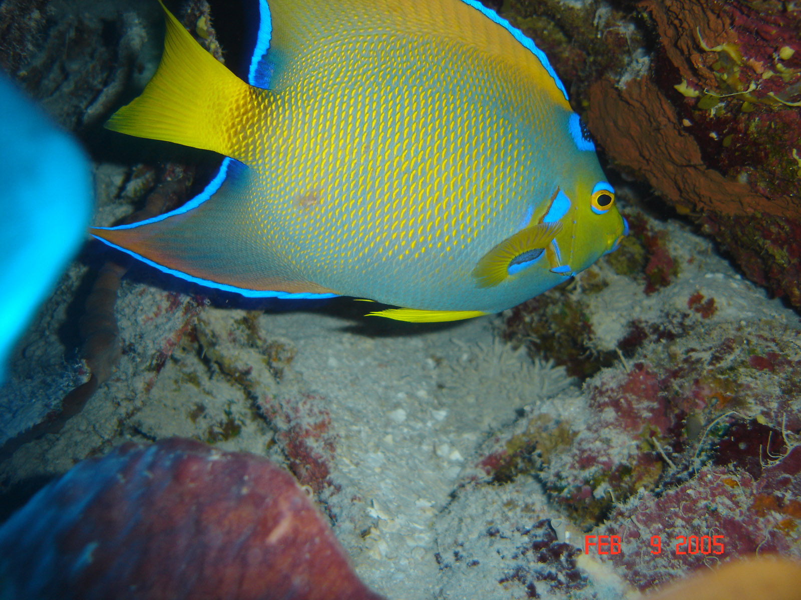
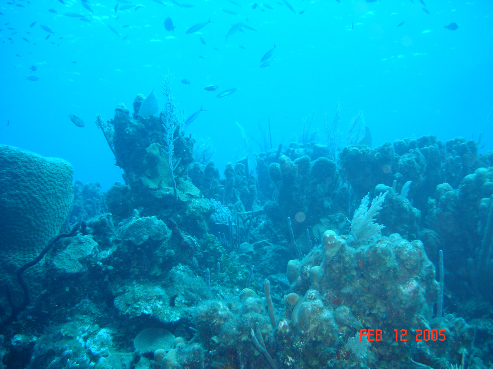
 Lots to see on the reef, sponges, fish and corals.
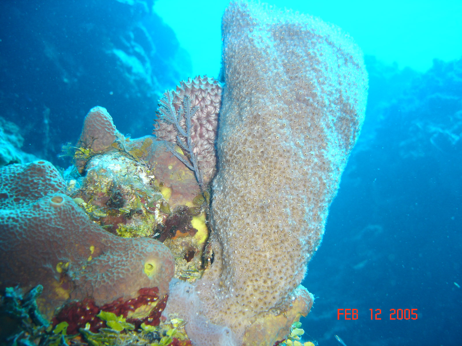
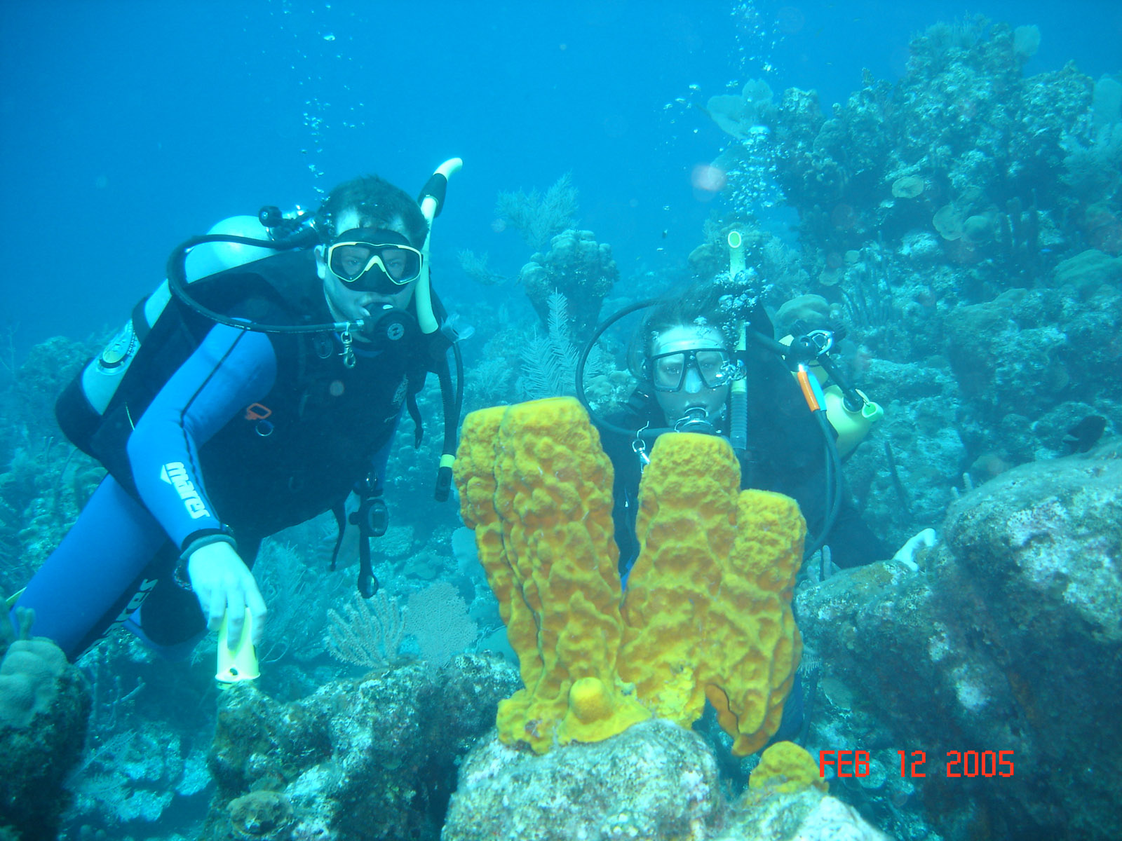
 David and Kristen Wallway checking out a yellow sponge. Without a light it looked green at depth, the camera flash shows the real color.
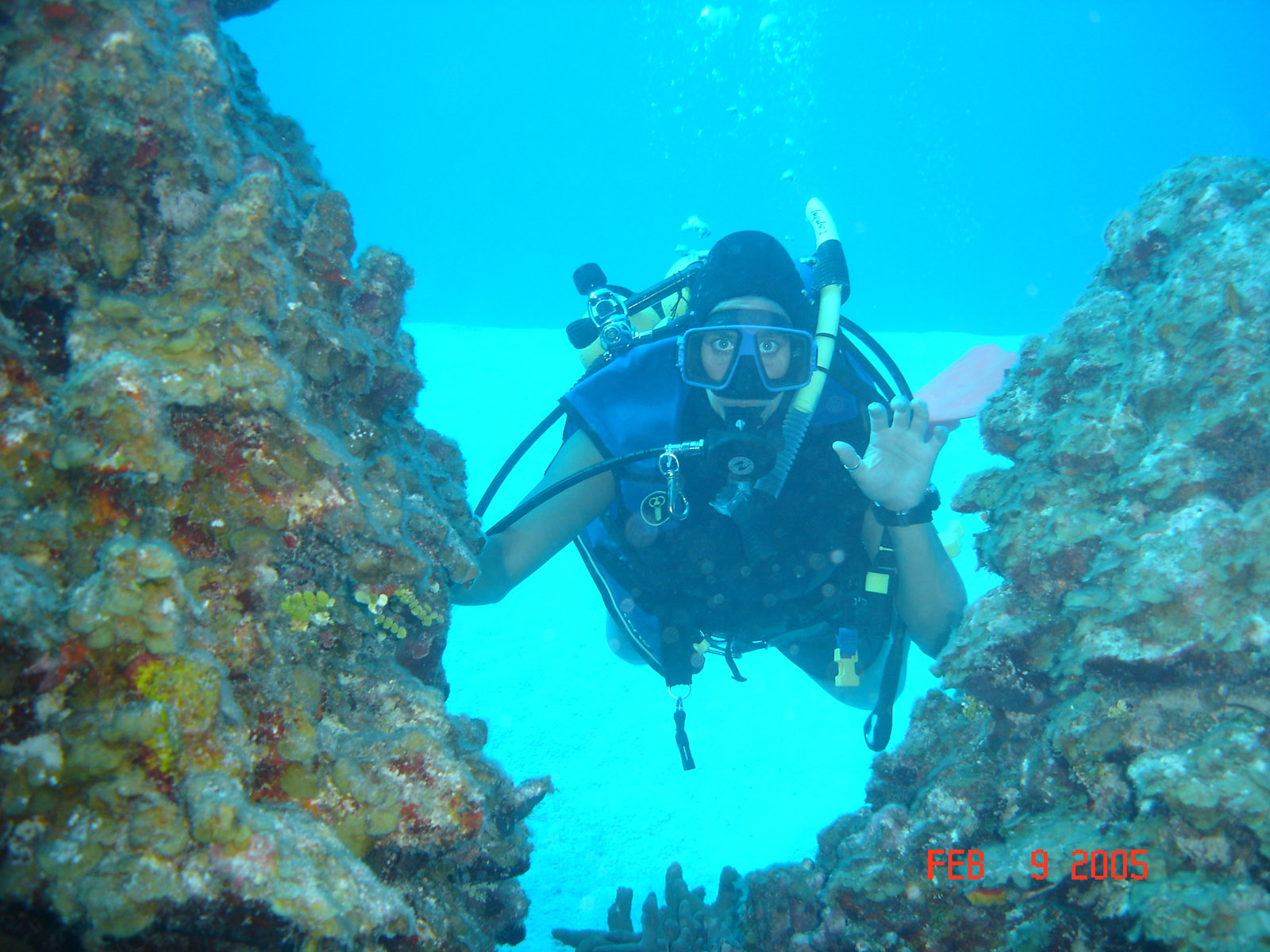
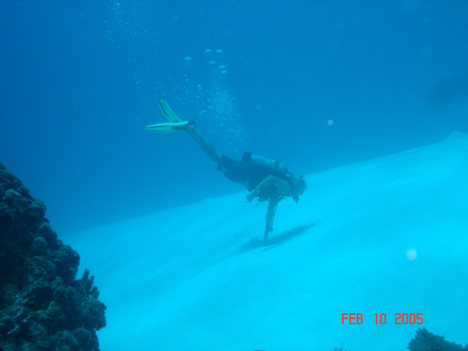
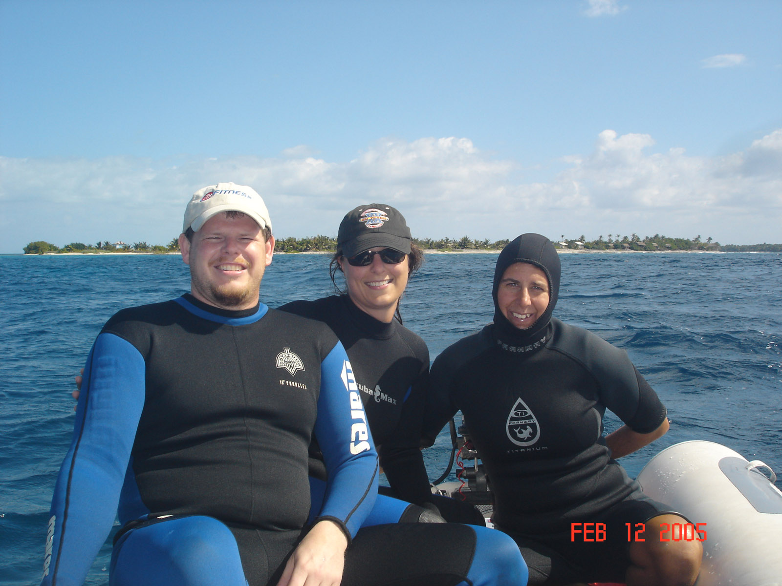
 David, Kristen, and Liza on the way back to the boat from a dive. These wusses had to wear wet suits in 79 deg water.

 Crossing the gulf from Mexico to the river took 3 days. First day was rough and the second day was perfect but the third day was foggy, very foggy. It was so foggy we could only see a couple hundred feet and the water was like glass.
 We arrived at the barge canal channel entrance at 4 pm, 11 miles offshore, so we headed up the barge canal channel and anchored at the entrance to the river channel. In then we will head up the river, we need to be at marker 32 at high tide as the channel has a sand bar we need to clear. We made it over with 1 1/2 feet to spare, something that would have driven us crazy if we hadn't just been to Belize where a foot of clearance is awesome.
 We need to go under 3 sets of high power lines that are at 65 feet. We have lowered the mast to 62 feet with help from James and Heath. We spent the night at a marina just down river from the powerlines and lowered the mast as a test to see if it would work. It worked so well when we had it lowered and the lines tightened we travel the 2 miles up the river with the mast in the tilted position.
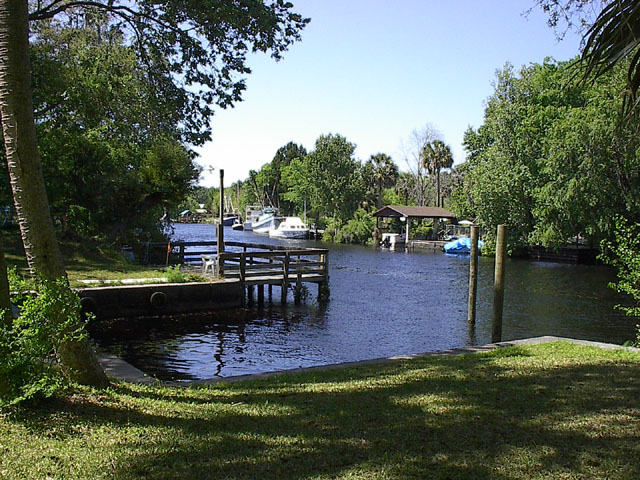
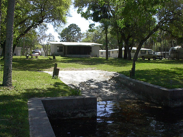
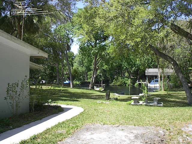
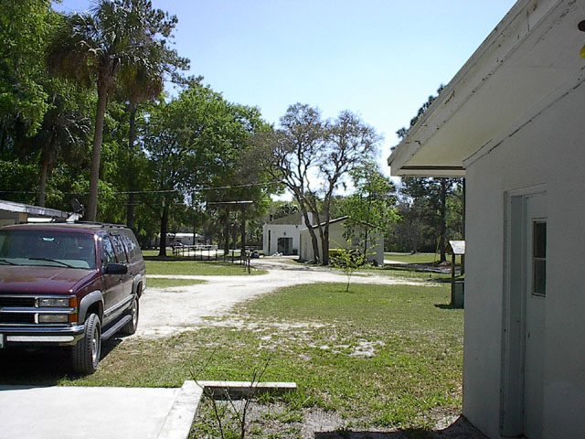
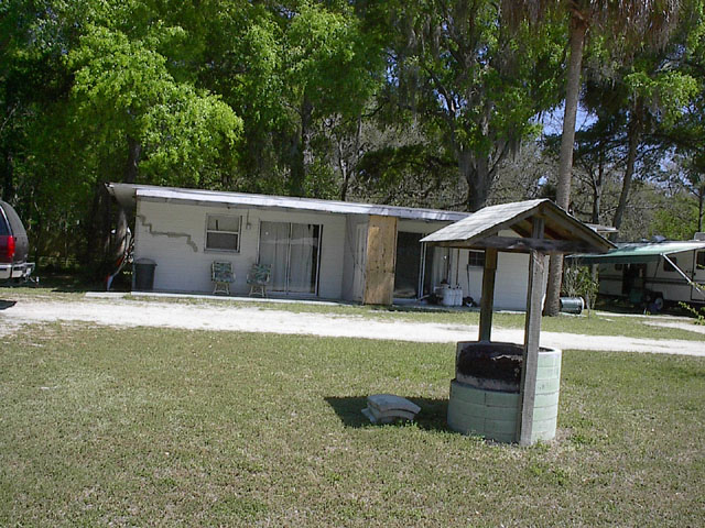
 We are snug as a bug in a rug, the trip is over..... We traveled 6113 miles in 3 days short of 4 months. The electric winch will raise the mast up easily and all we need to do is plug in the power and enjoy being here.